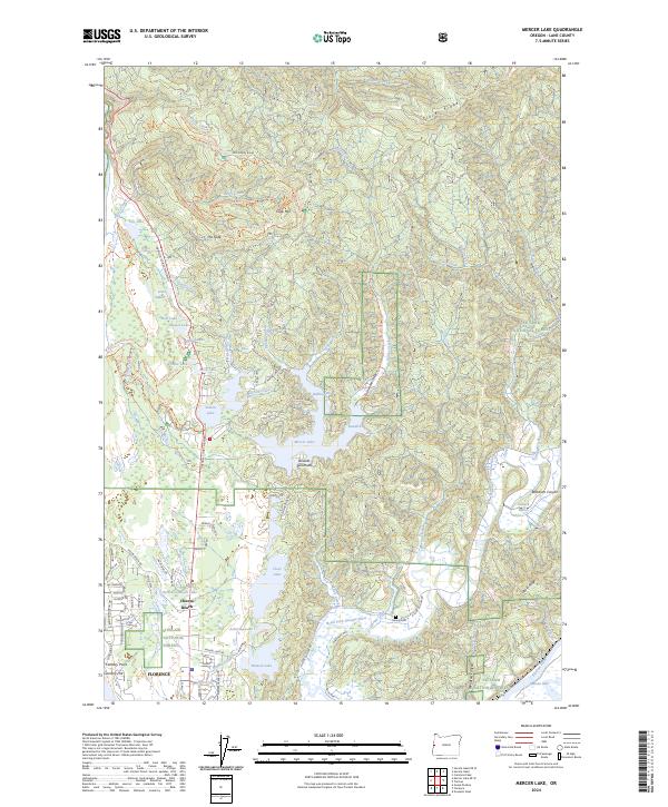
2024 Map of Mercer Lake
USGS Topo · Published 2024About this map
The northern reaches of Florence and the unincorporated community of Heceta Beach anchor this coastal landscape, where the North Fork Siuslaw River winds through narrow valleys toward the Pacific. The region is defined by a dense network of freshwater basins, including Mercer Lake, Sutton Lake, and Clear Lake, often separated by ridges and distinctive terrain features like Dowells Peninsula. Along the higher ground of Clover Ridge and Scurvy Ridge, numerous trails such as the Horse Creek-Cape Mtn Trail provide access to Cape Mtn.
Find a feature on this map
94 named features on this map. Tap any name to fly to it.
Don’t see what you’re looking for? This feature index may not catch every label — zoom into the map to look around manually.
Map Details
Editions of this 2024 Mercer Lake Map
This is the sole edition of this map. No revisions or reprints were ever made.
Other maps of this area

1918 · Mapleton
USGS Topo · 1:48,000

1919 · Earl
USGS Topo · 1:48,000

1920 · Siltcoos Lake
USGS Topo · 1:62,500

1920 · Heceta Head
USGS Topo · 1:62,500

1940 · Mapleton
USGS Topo · 1:62,500

1941 · Siltcoos Lake
USGS Topo · 1:62,500

1942 · Heceta Head
USGS Topo · 1:62,500

1942 · Siltcoos Lake
USGS Topo · 1:62,500

1943 · Goodwin Peak
USGS Topo · 1:62,500

1945 · Mapleton
USGS Topo · 1:62,500