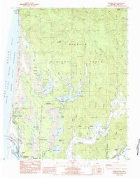
1984 Map of Mercer Lake
USGS Topo · Published 1984About this map
The coastal dunes and forested ridges of the Siuslaw Nat For meet the Pacific Ocean in this mid-1980s survey. Settlement is concentrated along the southern edge near Florence, where the Siuslaw River flows past Cannery Point. Inland, a complex network of freshwater bodies including Mercer Lake, Sutton Lake, and Munsel Lake are tucked behind the shore, connected by seasonal creeks and the winding route of US Highway 101.
Find a feature on this map
60 named features on this map. Tap any name to fly to it.
Don’t see what you’re looking for? This feature index may not catch every label — zoom into the map to look around manually.
Map Details
Editions of this 1984 Mercer Lake Map
This is the sole edition of this map. No revisions or reprints were ever made.
Other maps of this area

1918 · Mapleton
USGS Topo · 1:48,000

1919 · Earl
USGS Topo · 1:48,000

1920 · Siltcoos Lake
USGS Topo · 1:62,500

1920 · Heceta Head
USGS Topo · 1:62,500

1940 · Mapleton
USGS Topo · 1:62,500

1941 · Siltcoos Lake
USGS Topo · 1:62,500

1942 · Heceta Head
USGS Topo · 1:62,500

1942 · Siltcoos Lake
USGS Topo · 1:62,500

1943 · Goodwin Peak
USGS Topo · 1:62,500

1945 · Mapleton
USGS Topo · 1:62,500