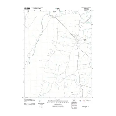
2010 Map of Mercersburg
USGS Topo · Published 2010About this map
Mercersburg serves as the focal point of this terrain where the Great Valley meets the eastern slopes of the Appalachians. The landscape is defined by the sharp verticality of Cove Mountain and Rattlesnake Ridge, which channel the Little Cove Creek through the Little Cove Valley. To the east, the topography flattens toward the West Branch Conococheague Creek, supporting a network of small settlements including Cove Gap, Charlestown, and Shimpstown.
Find a feature on this map
49 named features on this map. Tap any name to fly to it.
Don’t see what you’re looking for? This feature index may not catch every label — zoom into the map to look around manually.
Map Details
Editions of this 2010 Mercersburg Map
This is the sole edition of this map. No revisions or reprints were ever made.
Other maps of this area

1899 · Hancock
USGS Topo · 1:62,500

1900 · Mercersburg
USGS Topo · 1:62,500

1901 · Hancock
USGS Topo · 1:62,500

1902 · Mercersburg
USGS Topo · 1:62,500

1912 · Williamsport
USGS Topo · 1:62,500

1925 · Needmore
USGS Topo · 1:48,000

1935 · Needmore
USGS Topo · 1:62,500

1939 · Needmore
USGS Topo · 1:62,500

1942 · Hagerstown
USGS Topo · 1:125,000

1943 · Hagerstown
USGS Topo · 1:125,000