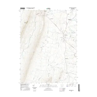
2016 Map of Mercersburg
USGS Topo · Published 2016About this map
Tuscarora Mountain and Cove Mtn dominate the western horizon of this Pennsylvania landscape, framing the narrow Little Cove Valley along the Fulton Co and Franklin Co line. The historic borough of Mercersburg serves as the primary hub, where significant routes like Buchanan Trl W and Fort Loudon Rd converge. This 2016 survey illustrates a traditional agricultural and residential pattern, preserved in small settlements such as Charlestown, Shimpstown, and Claylick. Waterways like Licking Cr and the West Branch Conococheague Creek drain the lowlands between the ridges, while specific local landmarks like Cove Gap and Mercersburg Junction provide points of interest for genealogists tracing family locations in this long-settled corner of the Cumberland Valley.
Find a feature on this map
68 named features on this map. Tap any name to fly to it.
Don’t see what you’re looking for? This feature index may not catch every label — zoom into the map to look around manually.
Map Details
Editions of this 2016 Mercersburg Map
This is the sole edition of this map. No revisions or reprints were ever made.
Other maps of this area

1899 · Hancock
USGS Topo · 1:62,500

1900 · Mercersburg
USGS Topo · 1:62,500

1901 · Hancock
USGS Topo · 1:62,500

1902 · Mercersburg
USGS Topo · 1:62,500

1912 · Williamsport
USGS Topo · 1:62,500

1925 · Needmore
USGS Topo · 1:48,000

1935 · Needmore
USGS Topo · 1:62,500

1939 · Needmore
USGS Topo · 1:62,500

1942 · Hagerstown
USGS Topo · 1:125,000

1943 · Hagerstown
USGS Topo · 1:125,000