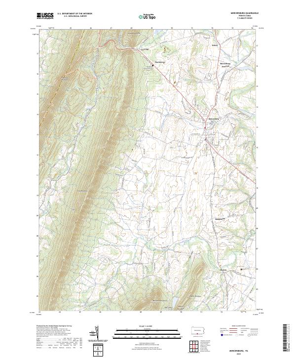
2023 Map of Mercersburg
USGS Topo · Published 2023About this map
Tuscarora Mountain and Cove Mountain define the high ridges of this corner of Franklin County, where the transition from steep timbered slopes to the valley floor shaped centuries of movement. The borough of Mercersburg serves as the central hub, linked to outlying settlements like Cove Gap and Charlestown by the historic path of the Buchanan Trl W. Local genealogy is anchored by sites such as the Charlestown United Methodist Church Cem and the Negley Cem near Claylick.
Find a feature on this map
83 named features on this map. Tap any name to fly to it.
Don’t see what you’re looking for? This feature index may not catch every label — zoom into the map to look around manually.
Map Details
Editions of this 2023 Mercersburg Map
This is the sole edition of this map. No revisions or reprints were ever made.
Other maps of this area

1899 · Hancock
USGS Topo · 1:62,500

1900 · Mercersburg
USGS Topo · 1:62,500

1901 · Hancock
USGS Topo · 1:62,500

1902 · Mercersburg
USGS Topo · 1:62,500

1912 · Williamsport
USGS Topo · 1:62,500

1925 · Needmore
USGS Topo · 1:48,000

1935 · Needmore
USGS Topo · 1:62,500

1939 · Needmore
USGS Topo · 1:62,500

1942 · Hagerstown
USGS Topo · 1:125,000

1943 · Hagerstown
USGS Topo · 1:125,000
Featured Places
- Mercersburg, PA
- Ayr Township, PA
- Peters Township, PA
- Claylick, Montgomery Township
- Lenwood Heights, Montgomery Township