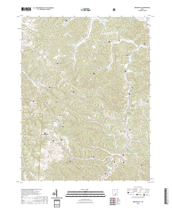
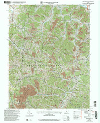
2023 Map of Mercerville
USGS Topo · Published 2023About this map
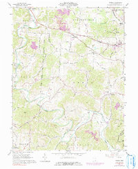
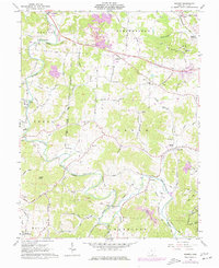
Mercerville sits as a primary settlement within this section of Gallia County, located near the southern reaches of the Wayne National Forest. The landscape is defined by an intricate network of narrow valleys carved by Bullskin Creek, Johns Creek, and Indian Guyan Creek, which dictate the placement of local roads and family homesteads. This map is particularly dense with genealogical sites, recording numerous small burial grounds such as Macedonia Cem, Loucks Cem, and Providence Cem that speak to generations of rural settlement. The county line between Lawrence Co and Gallia Co runs through the southwest, where the terrain becomes increasingly complex near Turkey Creek. Significant community landmarks include the Lincoln Ridge Chapel Cem and Stewart Chapel Cem, which anchor the upland ridges between the many winding runs and branches.
Find a feature on this map
61 named features on this map. Tap any name to fly to it.
Don’t see what you’re looking for? This feature index may not catch every label — zoom into the map to look around manually.
Map Details
Editions of this 2023 Mercerville Map
This is the sole edition of this map. No revisions or reprints were ever made.
Historical Maps of Mercerville Through Time
12 maps found
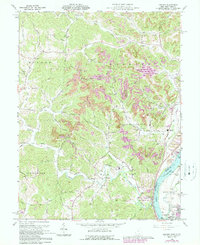
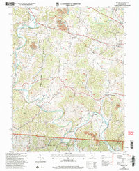
1960 Addison
Gallia County, OH
1961 Mercerville
Gallia County, OH
1961 Patriot
Gallia County, OH
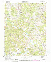
1961 Rodney
Gallia County, OH
1975 Rodney
Gallia County, OH
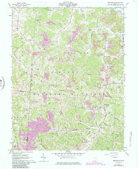
2002 Mercerville
Gallia County, OH
2002 Patriot
Gallia County, OH
2002 Rodney
Gallia County, OH
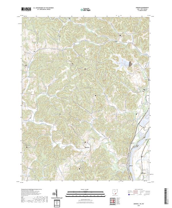
2023 Addison
Gallia County, OH
2023 Mercerville
Gallia County, OH
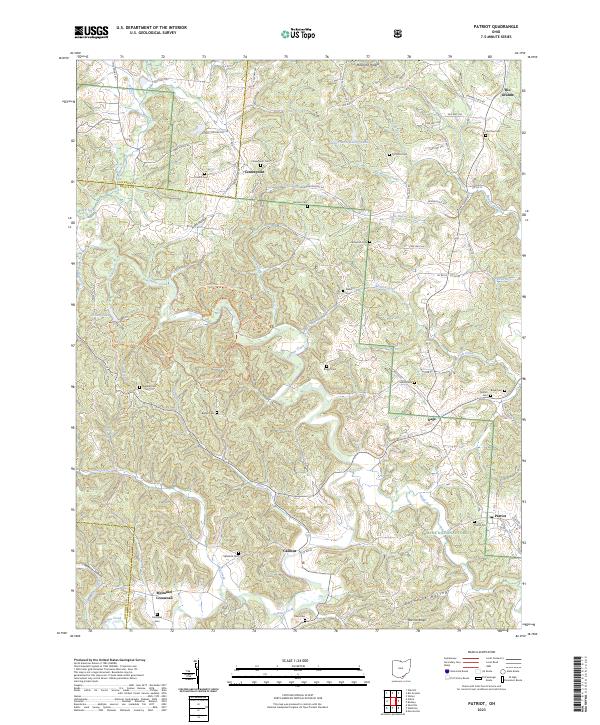
2023 Patriot
Gallia County, OH
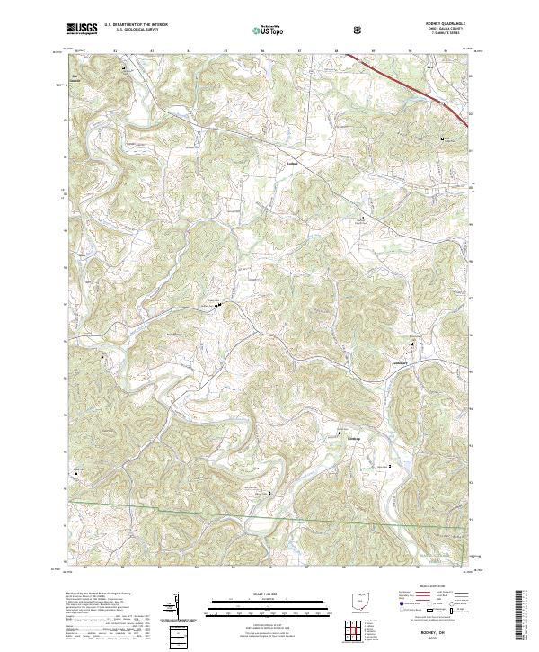
2023 Rodney
Gallia County, OH
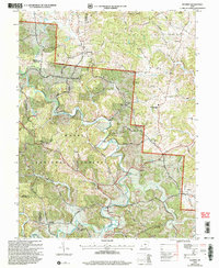
Featured Locations
- Walnut Township, OH
- Guyan Township, OH
- Harrison Township, OH
- Mason Township, OH
- Angel, Harrison Township