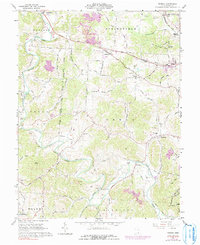
1961 Map of Rodney
USGS Topo · Published 1991About this map
Raccoon Creek meanders through Gallia County, carving a valley that defines the local geography between Rodney and Northup. The landscape in the early 1960s reflects a rural economy balanced between traditional agriculture and active resource extraction, evidenced by the large Strip Mines and several claypits scattered near the Springfield and Green township boundaries. The transportation network is anchored by the Chesapeake and Ohio railroad in the northeast, while local travel relies on historic routes like the Hannan Trace and Adamsville Road. This survey documents a deeply rooted community life, preserving the locations of numerous family and congregational landmarks including Alexander Ch, Providence Cem, and the Green Sch. A small Dam and Gaging Sta on the creek near Northup indicate the importance of water management in this drainage basin during the mid-twentieth century.
Find a feature on this map
76 named features on this map. Tap any name to fly to it.
Don’t see what you’re looking for? This feature index may not catch every label — zoom into the map to look around manually.
Map Details
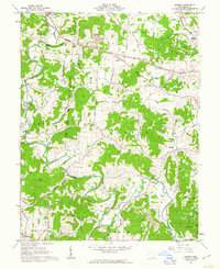
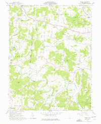
Editions of this 1961 Rodney Map
Other maps of this area

1906 · Bidwell
USGS Topo · 1:62,500

1906 · Athalia
USGS Topo · 1:62,500

1906 · Glenwood
USGS Topo · 1:62,500

1908 · Bidwell
USGS Topo · 1:62,500

1908 · Athalia
USGS Topo · 1:62,500

1908 · Glenwood
USGS Topo · 1:62,500

1908 · Point Pleasant
USGS Topo · 1:62,500

1926 · Point Pleasant
USGS Topo · 1:62,500

1929 · Point Pleasant
USGS Topo · 1:62,500

1957 · Huntington
USGS Topo · 1:250,000