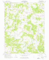
1961 Map of Rodney
USGS Topo · Published 1976About this map
Raccoon Creek meanders through Gallia County, carving a valley where established rural settlements like Rodney and Northup sit along old county pikes. The landscape is a mosaic of ridge-top farms and timbered hollows, marked by the agricultural boundaries of the Congress Boundary and Boundary West. Local spiritual and civic life is anchored by a network of country churches and schools, including Asbury Ch, Fairfield Ch, and the Green Sch. Small-scale industrial activity is evident in the presence of scattered Strip Mines and several Claypits, particularly near the Chesapeake and Ohio rail line. The southern edge of the map enters the Wayne National Forest, while family-named routes like Hannan Trace Road and Wilson Bostic Road connect the many family cemeteries and farmsteads that define the area’s genealogy.
Find a feature on this map
81 named features on this map. Tap any name to fly to it.
Don’t see what you’re looking for? This feature index may not catch every label — zoom into the map to look around manually.
Map Details
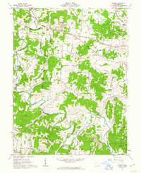
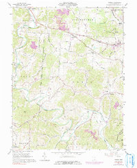
Editions of this 1961 Rodney Map
Other maps of this area

1906 · Bidwell
USGS Topo · 1:62,500

1906 · Athalia
USGS Topo · 1:62,500

1906 · Glenwood
USGS Topo · 1:62,500

1908 · Bidwell
USGS Topo · 1:62,500

1908 · Athalia
USGS Topo · 1:62,500

1908 · Glenwood
USGS Topo · 1:62,500

1908 · Point Pleasant
USGS Topo · 1:62,500

1926 · Point Pleasant
USGS Topo · 1:62,500

1929 · Point Pleasant
USGS Topo · 1:62,500

1957 · Huntington
USGS Topo · 1:250,000