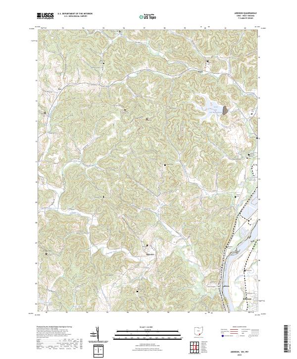
2023 Map of Addison
USGS Topo · Published 2023About this map
Addison and Bulaville sit near the western banks of the Ohio River, where the landscape is defined by the winding paths of Campaign Creek and Kyger Creek. The terrain is marked by the industrial footprints of the Gavin Fly Ash Impoundment and the Gavin Bottom Ash Pond near the river's edge, contrasting with the rural character of inland settlements like Eno and Poplar Ridge. Genealogists will find a wealth of family history sites preserved here, including the Rife Cem, Roush Cem, and Lemley Cem. The map illustrates a complex network of township roads and county routes, such as Reese Hollow Rd and Africa Rd, that connect these small communities and isolated burial grounds across the dissection of ridges and valleys in Gallia County.
Find a feature on this map
111 named features on this map. Tap any name to fly to it.
Don’t see what you’re looking for? This feature index may not catch every label — zoom into the map to look around manually.
Map Details
Editions of this 2023 Addison Map
This is the sole edition of this map. No revisions or reprints were ever made.
Other maps of this area

1905 · Wilkesville
USGS Topo · 1:62,500

1906 · Bidwell
USGS Topo · 1:62,500

1907 · Pomeroy
USGS Topo · 1:62,500

1908 · Bidwell
USGS Topo · 1:62,500

1908 · Point Pleasant
USGS Topo · 1:62,500

1908 · Wilkesville
USGS Topo · 1:62,500

1926 · Point Pleasant
USGS Topo · 1:62,500

1929 · Point Pleasant
USGS Topo · 1:62,500

1947 · Columbus
USGS Topo · 1:250,000

1957 · Beech Hill
USGS Topo · 1:24,000