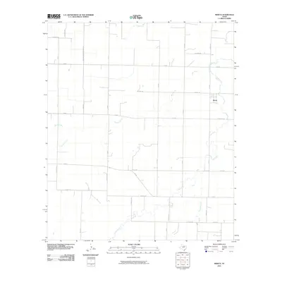
2010 Map of Mereta
USGS Topo · Published 2010About this map
Mereta serves as the primary settlement hub for this agricultural landscape in Tom Green County, situated near the confluence of several seasonal waterways. The terrain is defined by a dendritic network of drainages, including Lipan Creek and its tributary Dry Lipan Creek, which wind across the quadrangle. A system of farm-to-market roads and section-line routes, such as FM 380 and FM 1692, provide the framework for the rural homesteads scattered throughout the territory.
Find a feature on this map
35 named features on this map. Tap any name to fly to it.
Don’t see what you’re looking for? This feature index may not catch every label — zoom into the map to look around manually.
Map Details
Editions of this 2010 Mereta Map
This is the sole edition of this map. No revisions or reprints were ever made.
Other maps of this area

1891 · Hayrick
USGS Topo · 1:125,000

1892 · San Angelo
USGS Topo · 1:125,000

1894 · Hayrick
USGS Topo · 1:125,000

1921 · Lowake
USGS Topo · 1:31,680

1928 · Wall
USGS Topo · 1:62,500

1954 · San Angelo
USGS Topo · 1:250,000

1957 · Eola
USGS Topo · 1:62,500

1957 · Miles
USGS Topo · 1:62,500

1957 · Harriet
USGS Topo · 1:62,500

1957 · Wall
USGS Topo · 1:62,500