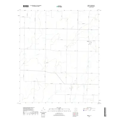
2019 Map of Mereta
USGS Topo · Published 2019About this map
Mereta sits at the eastern edge of this West Texas landscape, positioned where several regional farm-to-market roads converge. The settlement is characterized by a grid that includes Broadway and Grand Ave, reflecting a organized community center amidst the surrounding agricultural expanses. The terrain is dominated by the broad Lipan Flat, a geological feature that influences the drainage patterns of the local waterways. These intermittent streams, including Lipan Cr, Dry Lipan Cr, and Ninemile Cr, carve winding paths through the level plains, often accompanied by complex riparian vegetation typical of the Concho Valley region. Named thoroughfares like Mullins Crossing Rd and Kellermeir Rd suggest long-established family landholdings and travel routes that have connected these rural tracts for generations.
Find a feature on this map
39 named features on this map. Tap any name to fly to it.
Don’t see what you’re looking for? This feature index may not catch every label — zoom into the map to look around manually.
Map Details
Editions of this 2019 Mereta Map
This is the sole edition of this map. No revisions or reprints were ever made.
Other maps of this area

1891 · Hayrick
USGS Topo · 1:125,000

1892 · San Angelo
USGS Topo · 1:125,000

1894 · Hayrick
USGS Topo · 1:125,000

1921 · Lowake
USGS Topo · 1:31,680

1928 · Wall
USGS Topo · 1:62,500

1954 · San Angelo
USGS Topo · 1:250,000

1957 · Eola
USGS Topo · 1:62,500

1957 · Miles
USGS Topo · 1:62,500

1957 · Harriet
USGS Topo · 1:62,500

1957 · Wall
USGS Topo · 1:62,500