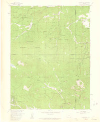
1957 Map of Meridian Hill
USGS Topo · Published 1959About this map
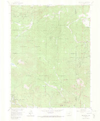
Arapaho National Forest and Pike National Forest meet in this mid-century survey of the high country west of Denver. The landscape is defined by the steep drainage basins of Buffalo Creek and Elk Creek, where early recreation and conservation efforts are evident in the placement of the State Game and Fish Reserve and the Elk Management Headquarters. Settlement patterns at this time lean heavily toward ranching and seasonal retreats, with operations like the Singing River Ranch, Broce Ranch, and Elk Falls Ranch scattered along the lower creek beds.
Find a feature on this map
40 named features on this map. Tap any name to fly to it.
Don’t see what you’re looking for? This feature index may not catch every label — zoom into the map to look around manually.
Map Details
Editions of this 1957 Meridian Hill Map
7 editions found
Other maps of this area

1893 · Platte Canyon
USGS Topo · 1:125,000

1899 · West Denver
USGS Topo · 1:125,000

1903 · Georgetown
USGS Topo · 1:62,500

1905 · Georgetown
USGS Topo · 1:62,500

1945 · Pine
USGS Topo · 1:24,000

1945 · Bailey
USGS Topo · 1:24,000

1945 · Shawnee
USGS Topo · 1:24,000

1948 · Pine
USGS Topo · 1:24,000

1948 · Shawnee
USGS Topo · 1:24,000

1949 · Bailey
USGS Topo · 1:24,000