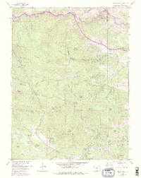
1957 Map of Squaw Pass
USGS Topo · Published 1976About this map
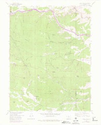
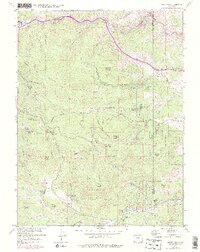
Arapaho National Forest dominates this high-altitude landscape, where the rugged peaks of the Front Range meet a series of mid-century ranching and recreation sites. The terrain is defined by dramatic elevation changes between Clear Creek in the north and the Bear Creek Valley to the south, connected by the winding Squaw Pass Road. Local industry and land use are evidenced by the presence of the Shaffer Mine on Shaffer Hill and numerous established outposts such as Evans Ranch Hdqrs and Dodge Ranch Headquarters.
Find a feature on this map
58 named features on this map. Tap any name to fly to it.
Don’t see what you’re looking for? This feature index may not catch every label — zoom into the map to look around manually.
Map Details
Editions of this 1957 Squaw Pass Map
6 editions found
Other maps of this area

1899 · West Denver
USGS Topo · 1:125,000

1903 · Georgetown
USGS Topo · 1:62,500

1905 · Central City
USGS Topo · 1:62,500

1905 · Georgetown
USGS Topo · 1:62,500

1906 · Blackhawk
USGS Topo · 1:62,500

1910 · Central City
USGS Topo · 1:62,500

1912 · Central City
USGS Topo · 1:62,500

1942 · Central City
USGS Topo · 1:24,000

1942 · Black Hawk
USGS Topo · 1:24,000

1942 · Ralston Buttes
USGS Topo · 1:24,000