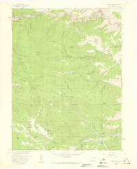
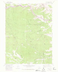
1957 Map of Squaw Pass
USGS Topo · Published 1959About this map
Idaho Springs occupies the northwestern corner of this 1957 survey, situated along the course of Clear Creek as it winds through the high Front Range. The landscape is defined by its significant ranching and recreational infrastructure, including the Evans Ranch Hdqrs and Dodge Ranch Headquarters. These working lands are punctuated by early mountain tourism sites like Beaver Brook Lodge and Greystone Lodge, alongside public works such as the Reservoir (City of Golden) in Beaver Brook canyon.
Find a feature on this map
55 named features on this map. Tap any name to fly to it.
Don’t see what you’re looking for? This feature index may not catch every label — zoom into the map to look around manually.
Map Details
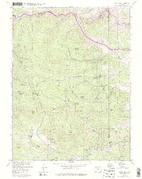
Editions of this 1957 Squaw Pass Map
6 editions found
Other maps of this area

1899 · West Denver
USGS Topo · 1:125,000

1903 · Georgetown
USGS Topo · 1:62,500

1905 · Central City
USGS Topo · 1:62,500

1905 · Georgetown
USGS Topo · 1:62,500

1906 · Blackhawk
USGS Topo · 1:62,500

1910 · Central City
USGS Topo · 1:62,500

1912 · Central City
USGS Topo · 1:62,500

1942 · Central City
USGS Topo · 1:24,000

1942 · Black Hawk
USGS Topo · 1:24,000

1942 · Ralston Buttes
USGS Topo · 1:24,000