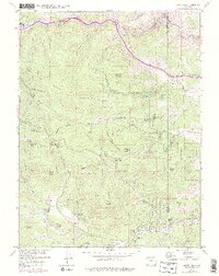
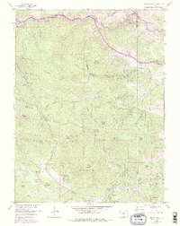
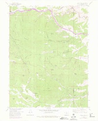
1957 Map of Squaw Pass
USGS Topo · Published 1976About this map
Arapaho National Forest dominates the high-altitude terrain of the Front Range in this 1950s record, capturing the area's transition into a center for mountain recreation and communications. Significant peaks like Squaw Mountain and Mount Judge rise above the deep drainages of Beaver Brook and Witter Gulch, while industrial remnants like the Silver Spruce Mill and various mines underscore the region's mining legacy near Idaho Springs.
Find a feature on this map
64 named features on this map. Tap any name to fly to it.
Don’t see what you’re looking for? This feature index may not catch every label — zoom into the map to look around manually.
Map Details
Editions of this 1957 Squaw Pass Map
6 editions found
Other maps of this area

1899 · West Denver
USGS Topo · 1:125,000

1903 · Georgetown
USGS Topo · 1:62,500

1905 · Central City
USGS Topo · 1:62,500

1905 · Georgetown
USGS Topo · 1:62,500

1906 · Blackhawk
USGS Topo · 1:62,500

1910 · Central City
USGS Topo · 1:62,500

1912 · Central City
USGS Topo · 1:62,500

1942 · Central City
USGS Topo · 1:24,000

1942 · Black Hawk
USGS Topo · 1:24,000

1942 · Ralston Buttes
USGS Topo · 1:24,000