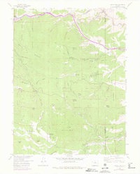
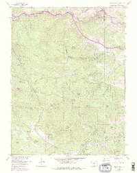
1957 Map of Squaw Pass
USGS Topo · Published 1976About this map
Idaho Springs sits at the northern edge of this high-altitude landscape, where the waters of Clear Creek are channeled through a series of six tunnels along the canyon walls. The terrain is dominated by the massive presence of Santa Fe Mountain and Squaw Mountain, the latter topped with a Radio Relay Station and Lookout. This mid-century survey captures a transition in the local economy, where legacy ranching properties like Evans Ranch Hdqrs and Dodge Ranch Headquarters are mapped alongside the Silver Spruce Mill.
Find a feature on this map
68 named features on this map. Tap any name to fly to it.
Don’t see what you’re looking for? This feature index may not catch every label — zoom into the map to look around manually.
Map Details
Editions of this 1957 Squaw Pass Map
6 editions found
Other maps of this area

1899 · West Denver
USGS Topo · 1:125,000

1903 · Georgetown
USGS Topo · 1:62,500

1905 · Central City
USGS Topo · 1:62,500

1905 · Georgetown
USGS Topo · 1:62,500

1906 · Blackhawk
USGS Topo · 1:62,500

1910 · Central City
USGS Topo · 1:62,500

1912 · Central City
USGS Topo · 1:62,500

1942 · Central City
USGS Topo · 1:24,000

1942 · Black Hawk
USGS Topo · 1:24,000

1942 · Ralston Buttes
USGS Topo · 1:24,000