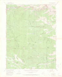
1957 Map of Squaw Pass
USGS Topo · Published 1971About this map
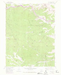
Idaho Springs sits at the northwestern edge of this Colorado landscape, where Clear Creek flows through the steep canyon terrain of the Arapaho National Forest. The 1950s survey captures a transition in land use, showing several Denver Mountain Park Sites and the Squaw Pass Picnic Area alongside established ranching operations. Significant family and business holdings include the Evans Ranch Hdqrs, Dodge Ranch Headquarters, and the Elmgreen Ranch. To the south, the community of Brookvale and the Greystone Lodge mark the settled valleys along Bear Creek. The map also documents communications infrastructure of the era, such as the Radio Relay Station Lookout atop Squaw Mountain. This topographic study provides a detailed view of the high-altitude ranching and recreation network before further modern development altered these mountain corridors.
Find a feature on this map
57 named features on this map. Tap any name to fly to it.
Don’t see what you’re looking for? This feature index may not catch every label — zoom into the map to look around manually.
Map Details
Editions of this 1957 Squaw Pass Map
6 editions found
Other maps of this area

1899 · West Denver
USGS Topo · 1:125,000

1903 · Georgetown
USGS Topo · 1:62,500

1905 · Central City
USGS Topo · 1:62,500

1905 · Georgetown
USGS Topo · 1:62,500

1906 · Blackhawk
USGS Topo · 1:62,500

1910 · Central City
USGS Topo · 1:62,500

1912 · Central City
USGS Topo · 1:62,500

1942 · Central City
USGS Topo · 1:24,000

1942 · Black Hawk
USGS Topo · 1:24,000

1942 · Ralston Buttes
USGS Topo · 1:24,000