
1942 Map of Black Hawk
USGS Topo · Published 1957About this map
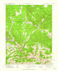
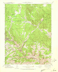
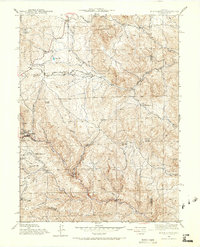
Black Hawk and Central City anchor this 1942 survey of Gilpin County's mining heartland, where the terrain is heavily etched by gulches and high peaks like Tremont Mtn. The map documents a landscape transitioning from its 19th-century boom foundations toward a mid-20th-century character, retaining historic markers like the Summit Mine and several named hills such as Justice Hill and Smith Hill. This era shows the local infrastructure supporting both extraction and early mountain community life, evidenced by the Mountain House Sch and Bay State Sch. Beyond the core mining districts, the survey traces the early path of Golden Gate Canyon Road and Gap Road, which provided vital links between the high country and the plains. The presence of Roosevelt National Forest and Arapaho National Forest land reflects the early-century federal management of these timber and water resources.
Find a feature on this map
40 named features on this map. Tap any name to fly to it.
Don’t see what you’re looking for? This feature index may not catch every label — zoom into the map to look around manually.
Map Details
Editions of this 1942 Black Hawk Map
4 editions found
Other maps of this area

1899 · West Denver
USGS Topo · 1:125,000

1903 · Georgetown
USGS Topo · 1:62,500

1905 · Central City
USGS Topo · 1:62,500

1905 · Georgetown
USGS Topo · 1:62,500

1906 · Blackhawk
USGS Topo · 1:62,500

1910 · Central City
USGS Topo · 1:62,500

1912 · Central City
USGS Topo · 1:62,500

1942 · Eldorado Springs
USGS Topo · 1:24,000

1942 · Nederland
USGS Topo · 1:24,000

1942 · Central City
USGS Topo · 1:24,000