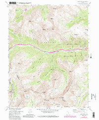
1958 Map of Grays Peak
USGS Topo · Published 1988About this map
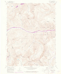
The Continental Divide snakes through this high-altitude landscape of the Arapaho National Forest, where the headwaters of Clear Creek and the North Fork Snake River begin their descent on opposite sides of the ridge. This 1958 survey captures a terrain defined by extensive mining operations and the early development of recreational skiing. High peaks like Grays Peak and Torreys Peak tower over a labyrinth of gulches and valleys that once hummed with industrial activity. The settlement of Graymont serves as a focal point along the road corridor, while the presence of the Arapaho Basin Ski Area at the western edge of the sheet indicates the shifting economic focus toward winter tourism. Numerous subterranean works, including the San Juan Tunnel and Grizzly Tunnel, are mapped alongside high-elevation extraction sites such as the Santiago Mine and Waldorf Mine, documenting the complex network of 20th-century silver and gold exploration in the Colorado high country.
Find a feature on this map
57 named features on this map. Tap any name to fly to it.
Don’t see what you’re looking for? This feature index may not catch every label — zoom into the map to look around manually.
Map Details
Editions of this 1958 Grays Peak Map
6 editions found
Other maps of this area

1903 · Georgetown
USGS Topo · 1:62,500

1905 · Central City
USGS Topo · 1:62,500

1905 · Georgetown
USGS Topo · 1:62,500

1910 · Central City
USGS Topo · 1:62,500

1912 · Central City
USGS Topo · 1:62,500

1924 · Montezuma
USGS Topo · 1:62,500

1924 · Fraser
USGS Topo · 1:62,500

1926 · Fraser
USGS Topo · 1:62,500

1926 · Montezuma
USGS Topo · 1:62,500

1933 · Montezuma
USGS Topo · 1:62,500