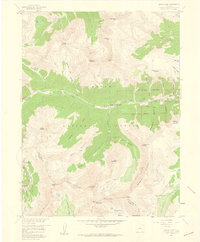
1958 Map of Grays Peak
USGS Topo · Published 1959About this map
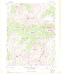
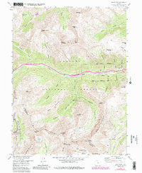
Arapaho National Forest dominates this high-altitude landscape, centered on the towering summits of Grays Peak and Torreys Peak along the Continental Divide. The 1958 survey captures a complex network of mining history and early alpine recreation. Evidence of the region’s silver and gold mining era is visible through numerous tunnels and claims, including the Stevens Mine and Santiago Mine in the southern gulches, as well as the high-elevation Waldorf Mine.
Find a feature on this map
63 named features on this map. Tap any name to fly to it.
Don’t see what you’re looking for? This feature index may not catch every label — zoom into the map to look around manually.
Map Details
Editions of this 1958 Grays Peak Map
6 editions found
Other maps of this area

1903 · Georgetown
USGS Topo · 1:62,500

1905 · Central City
USGS Topo · 1:62,500

1905 · Georgetown
USGS Topo · 1:62,500

1910 · Central City
USGS Topo · 1:62,500

1912 · Central City
USGS Topo · 1:62,500

1924 · Montezuma
USGS Topo · 1:62,500

1924 · Fraser
USGS Topo · 1:62,500

1926 · Fraser
USGS Topo · 1:62,500

1926 · Montezuma
USGS Topo · 1:62,500

1933 · Montezuma
USGS Topo · 1:62,500