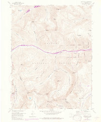
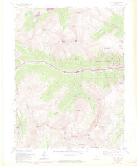
1958 Map of Grays Peak
USGS Topo · Published 1976About this map
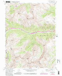
The high peaks of the Continental Divide dominate this 1958 survey, where the border between Clear Creek and Summit counties follows the rocky ridge lines. This area is a significant landscape of mid-century alpine recreation and historical resource extraction, anchored by Torreys Peak and Grays Peak. To the west, the Arapaho Basin Ski Area marks the early development of Colorado's winter sports industry along the North Fork Snake River. The central corridor along Clear Creek reveals a legacy of mining, evidenced by the Golden Belt Tunnel and numerous named workings like the Hamill Mine and Silver Cloud Mine. The high-altitude settlement at Graymont serves as a focal point for the surrounding network of drainage basins, including Grizzly Gulch and Stevens Gulch, which were critical to the movement of ore and timber. Narrow routes like the Ruby Trail and Argentine Pass underscore the difficult navigation of this terrain before the expansion of modern thoroughfares.
Find a feature on this map
60 named features on this map. Tap any name to fly to it.
Don’t see what you’re looking for? This feature index may not catch every label — zoom into the map to look around manually.
Map Details
Editions of this 1958 Grays Peak Map
6 editions found
Other maps of this area

1903 · Georgetown
USGS Topo · 1:62,500

1905 · Central City
USGS Topo · 1:62,500

1905 · Georgetown
USGS Topo · 1:62,500

1910 · Central City
USGS Topo · 1:62,500

1912 · Central City
USGS Topo · 1:62,500

1924 · Montezuma
USGS Topo · 1:62,500

1924 · Fraser
USGS Topo · 1:62,500

1926 · Fraser
USGS Topo · 1:62,500

1926 · Montezuma
USGS Topo · 1:62,500

1933 · Montezuma
USGS Topo · 1:62,500