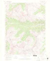
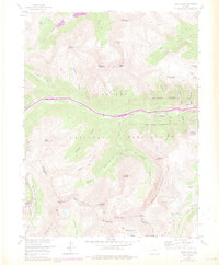
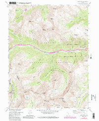
1958 Map of Grays Peak
USGS Topo · Published 1971About this map
The Continental Divide snake along the high ridges of this Colorado survey, separating the headwaters of the North Fork Snake River from the drainages of Clear Creek. The landscape is dominated by the massive summits of Grays Peak and Torreys Peak, towering over a region defined by its 19th-century mining legacy. The small settlement at Graymont serves as a focal point near the active workings of the Hamill Mine and Golden Belt Tunnel.
Find a feature on this map
57 named features on this map. Tap any name to fly to it.
Don’t see what you’re looking for? This feature index may not catch every label — zoom into the map to look around manually.
Map Details
Editions of this 1958 Grays Peak Map
6 editions found
Other maps of this area

1903 · Georgetown
USGS Topo · 1:62,500

1905 · Central City
USGS Topo · 1:62,500

1905 · Georgetown
USGS Topo · 1:62,500

1910 · Central City
USGS Topo · 1:62,500

1912 · Central City
USGS Topo · 1:62,500

1924 · Montezuma
USGS Topo · 1:62,500

1924 · Fraser
USGS Topo · 1:62,500

1926 · Fraser
USGS Topo · 1:62,500

1926 · Montezuma
USGS Topo · 1:62,500

1933 · Montezuma
USGS Topo · 1:62,500