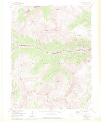
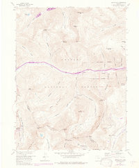
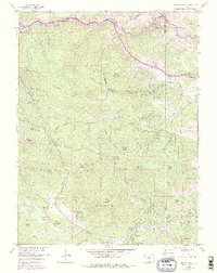
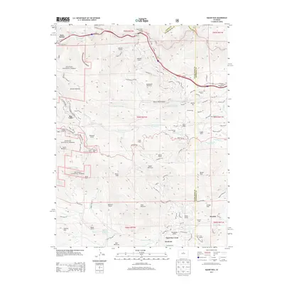
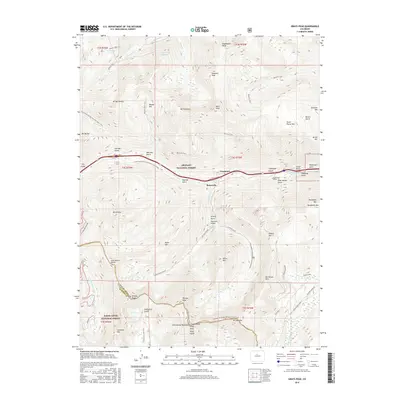
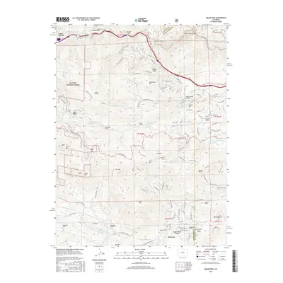
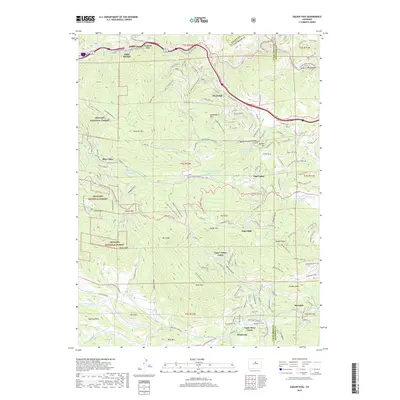
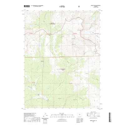
1958 Map of Grays Peak
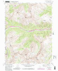
USGS Topo · Published 1983About this map
The high-altitude spine of the Continental Divide anchors this 1958 survey, where the rugged peaks of the Front Range meet the intensive silver-mining history of the late 19th century. Near the settlement of Graymont, the landscape is defined by deep gulches and steep ridgelines that once teemed with mineral prospectors. The map records the industrial footprints of sites like the Hamill Mine, Santiago Mine, and Waldorf Mine, illustrating the complex network of tunnels and claims that drove Colorado's mountain economy.
Find a feature on this map
63 named features on this map. Tap any name to fly to it.
Don’t see what you’re looking for? This feature index may not catch every label — zoom into the map to look around manually.
Map Details
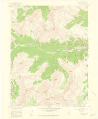
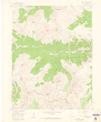
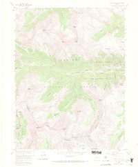
Editions of this 1958 Grays Peak Map
6 editions found
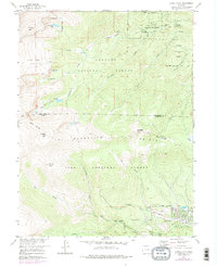
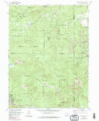
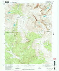
Historical Maps of Bakerville Through Time
31 maps found
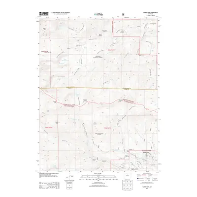
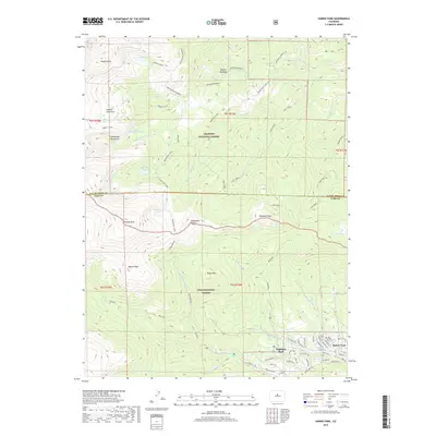
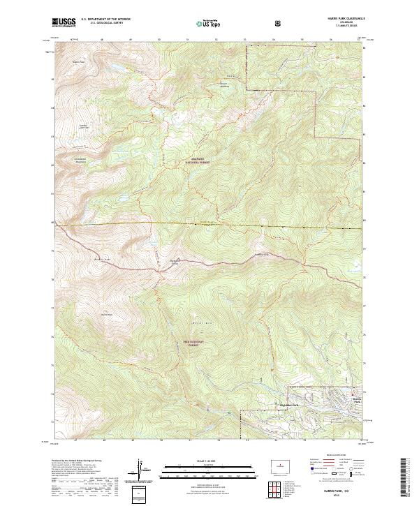
1957 Harris Park
Clear Creek County, CO
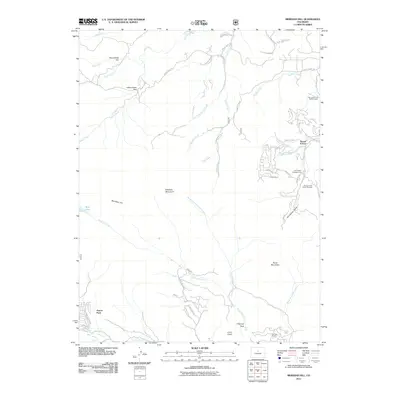
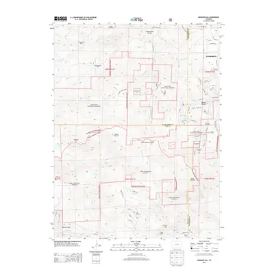
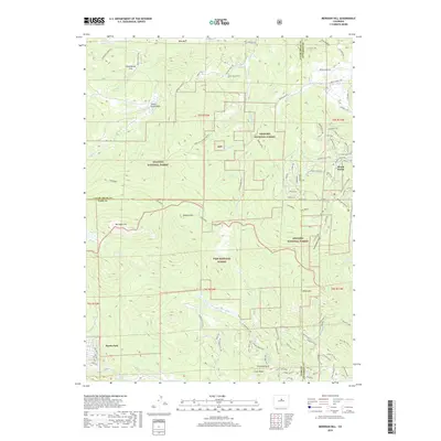
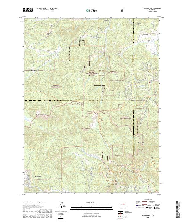
1957 Meridian Hill
Clear Creek County, CO
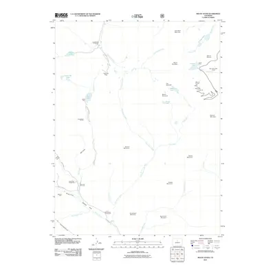
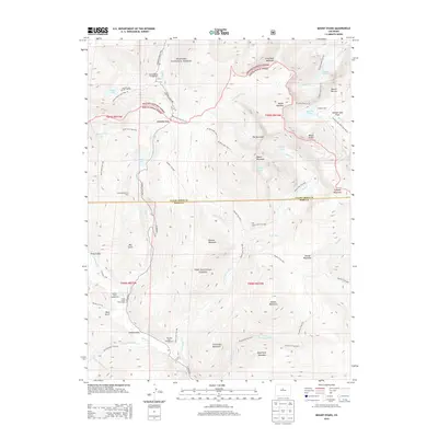
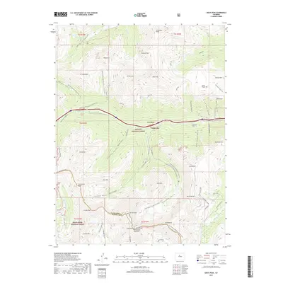
1957 Mt Evans
Clear Creek County, CO
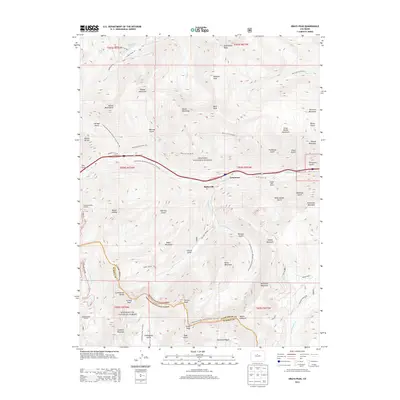
1957 Squaw Pass
Clear Creek County, CO
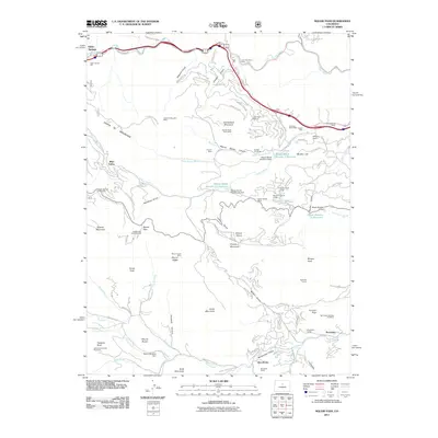
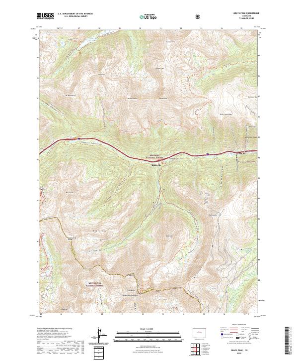
1958 Grays Peak
Clear Creek County, CO
2011 Grays Peak
Clear Creek County, CO
2011 Harris Park
Clear Creek County, CO
2011 Meridian Hill
Clear Creek County, CO
2011 Mount Blue Sky
Clear Creek County, CO
2011 Saddleback Mountain
Clear Creek County, CO
2013 Grays Peak
Clear Creek County, CO
2013 Harris Park
Clear Creek County, CO
2013 Meridian Hill
Clear Creek County, CO
2013 Mount Blue Sky
Clear Creek County, CO
2013 Saddleback Mountain
Clear Creek County, CO
2016 Grays Peak
Clear Creek County, CO
2016 Harris Park
Clear Creek County, CO
2016 Meridian Hill
Clear Creek County, CO
2016 Mount Blue Sky
Clear Creek County, CO
2016 Saddleback Mountain
Clear Creek County, CO
2019 Grays Peak
Clear Creek County, CO
2019 Harris Park
Clear Creek County, CO
2019 Meridian Hill
Clear Creek County, CO

2019 Mount Blue Sky
Clear Creek County, CO
2019 Saddleback Mountain
Clear Creek County, CO
2022 Grays Peak
Clear Creek County, CO
2022 Harris Park
Clear Creek County, CO
2022 Meridian Hill
Clear Creek County, CO
2022 Mount Blue Sky
Clear Creek County, CO
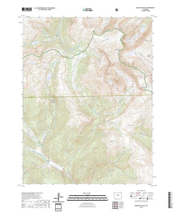
2023 Mount Blue Sky
Clear Creek County, CO
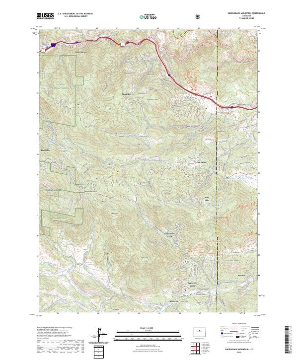
2023 Saddleback Mountain
Clear Creek County, CO