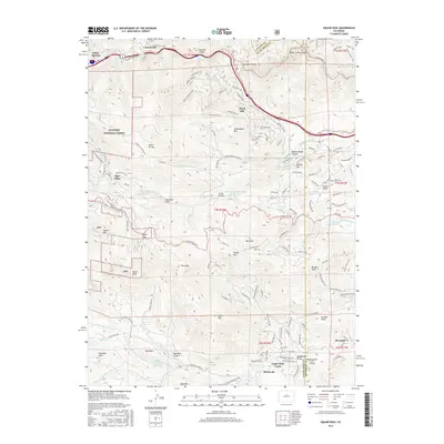
2016 Map of Saddleback Mountain
USGS Topo · Published 2016About this map
Idaho Springs sits at the northern edge of this high-elevation landscape, where the waters of Clear Creek cut through the terrain of the Arapaho National Forest. The map documents a complex network of mountain roads and residential clusters that have developed around the peaks, including Floyd Hill and the community of Upper Bear Creek. Historically significant water management is evident through a series of reservoirs such as Beaver Brook Number 2 Reservoir and Hiwan Number 4 Reservoir, which serve the growing communities in the Front Range foothills.
Find a feature on this map
119 named features on this map. Tap any name to fly to it.
Don’t see what you’re looking for? This feature index may not catch every label — zoom into the map to look around manually.
Map Details
Editions of this 2016 Saddleback Mountain Map
This is the sole edition of this map. No revisions or reprints were ever made.
Other maps of this area

1899 · West Denver
USGS Topo · 1:125,000

1903 · Georgetown
USGS Topo · 1:62,500

1905 · Central City
USGS Topo · 1:62,500

1905 · Georgetown
USGS Topo · 1:62,500

1906 · Blackhawk
USGS Topo · 1:62,500

1910 · Central City
USGS Topo · 1:62,500

1912 · Central City
USGS Topo · 1:62,500

1942 · Central City
USGS Topo · 1:24,000

1942 · Black Hawk
USGS Topo · 1:24,000

1942 · Ralston Buttes
USGS Topo · 1:24,000