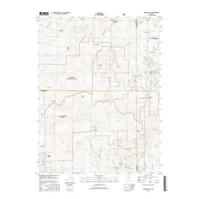
2016 Map of Meridian Hill
USGS Topo · Published 2016About this map
Brook Forest and Harris Park anchor this high-elevation landscape where the Front Range begins to ascend toward the Continental Divide. The terrain is defined by the massive boundaries of the Arapaho National Forest and Pike National Forest, which meet along the county lines of Clear Creek, Jefferson, and Park. Notable peaks including Meridian Hill, Shadow Mtn, and Black Mtn tower over the drainage systems of Upper Bear Creek and the N Elk Cr.
Find a feature on this map
96 named features on this map. Tap any name to fly to it.
Don’t see what you’re looking for? This feature index may not catch every label — zoom into the map to look around manually.
Map Details
Editions of this 2016 Meridian Hill Map
This is the sole edition of this map. No revisions or reprints were ever made.
Other maps of this area

1893 · Platte Canyon
USGS Topo · 1:125,000

1899 · West Denver
USGS Topo · 1:125,000

1903 · Georgetown
USGS Topo · 1:62,500

1905 · Georgetown
USGS Topo · 1:62,500

1945 · Pine
USGS Topo · 1:24,000

1945 · Bailey
USGS Topo · 1:24,000

1945 · Shawnee
USGS Topo · 1:24,000

1948 · Pine
USGS Topo · 1:24,000

1948 · Shawnee
USGS Topo · 1:24,000

1949 · Bailey
USGS Topo · 1:24,000