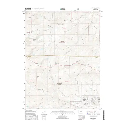
2016 Map of Harris Park
USGS Topo · Published 2016About this map
Harris Park and Highland Park anchor the lower southeast corner of this survey, marking the primary residential nodes in an otherwise formidable mountain landscape. This area is defined by the high-altitude divide between the Arapaho National Forest to the north and the Pike National Forest to the south. The terrain is dominated by significant summits including Rosalie Peak, Rogers Peak, and the descriptive Bandit Peak.
Find a feature on this map
71 named features on this map. Tap any name to fly to it.
Don’t see what you’re looking for? This feature index may not catch every label — zoom into the map to look around manually.
Map Details
Editions of this 2016 Harris Park Map
This is the sole edition of this map. No revisions or reprints were ever made.
Other maps of this area

1893 · Platte Canyon
USGS Topo · 1:125,000

1899 · West Denver
USGS Topo · 1:125,000

1903 · Georgetown
USGS Topo · 1:62,500

1905 · Georgetown
USGS Topo · 1:62,500

1945 · Bailey
USGS Topo · 1:24,000

1945 · Shawnee
USGS Topo · 1:24,000

1945 · Mount Logan
USGS Topo · 1:24,000

1948 · Mount Logan
USGS Topo · 1:24,000

1948 · Shawnee
USGS Topo · 1:24,000

1949 · Bailey
USGS Topo · 1:24,000