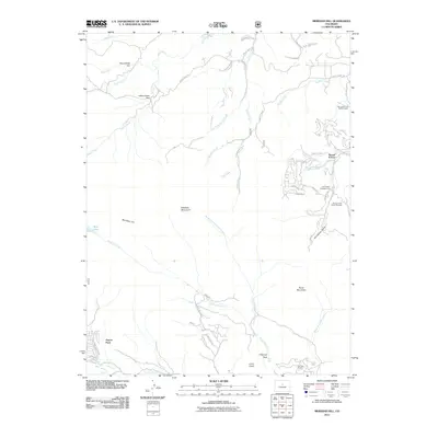
2011 Map of Meridian Hill
USGS Topo · Published 2011About this map
Meridian Hill and Shadow Mountain dominate the central terrain of this Jefferson County survey, which documents the residential pockets and recreational corridors southwest of the Denver area in the early 21st century. The settlement of Harris Park sits along Elk Creek in the southwest corner, while Brook Forest serves as a northern anchor near the junction of Chicken Creek and Cub Creek.
Find a feature on this map
54 named features on this map. Tap any name to fly to it.
Don’t see what you’re looking for? This feature index may not catch every label — zoom into the map to look around manually.
Map Details
Editions of this 2011 Meridian Hill Map
This is the sole edition of this map. No revisions or reprints were ever made.
Other maps of this area

1893 · Platte Canyon
USGS Topo · 1:125,000

1899 · West Denver
USGS Topo · 1:125,000

1903 · Georgetown
USGS Topo · 1:62,500

1905 · Georgetown
USGS Topo · 1:62,500

1945 · Pine
USGS Topo · 1:24,000

1945 · Bailey
USGS Topo · 1:24,000

1945 · Shawnee
USGS Topo · 1:24,000

1948 · Pine
USGS Topo · 1:24,000

1948 · Shawnee
USGS Topo · 1:24,000

1949 · Bailey
USGS Topo · 1:24,000