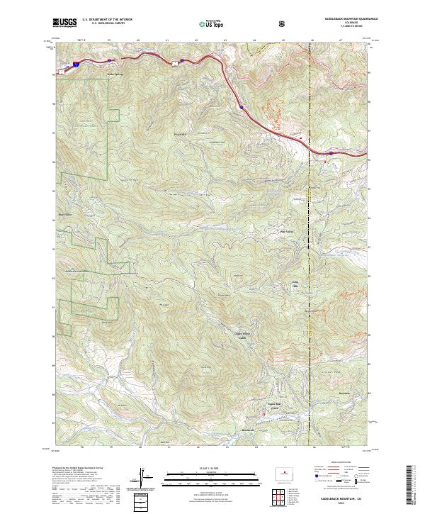
2023 Map of Saddleback Mountain
USGS Topo · Published 2023About this map
Clear Creek flows across the northern edge of this high-altitude landscape, where the historic mining community of Idaho Springs sits at the base of steep slopes. The map traces the winding paths of Central City Pkwy and Idaho Springs RD E as they navigate the dramatic relief between Santa Fe Mtn and Saddleback Mtn. To the south, residential enclaves such as Floyd Hill, Pine Valley, and Echo Hills are interspersed among the drainages of Beaver Brook and Witter Gulch, illustrating the 21st-century residential expansion into the timbered foothills.
Find a feature on this map
152 named features on this map. Tap any name to fly to it.
Don’t see what you’re looking for? This feature index may not catch every label — zoom into the map to look around manually.
Map Details
Editions of this 2023 Saddleback Mountain Map
This is the sole edition of this map. No revisions or reprints were ever made.
Other maps of this area

1899 · West Denver
USGS Topo · 1:125,000

1903 · Georgetown
USGS Topo · 1:62,500

1905 · Central City
USGS Topo · 1:62,500

1905 · Georgetown
USGS Topo · 1:62,500

1906 · Blackhawk
USGS Topo · 1:62,500

1910 · Central City
USGS Topo · 1:62,500

1912 · Central City
USGS Topo · 1:62,500

1942 · Central City
USGS Topo · 1:24,000

1942 · Black Hawk
USGS Topo · 1:24,000

1942 · Ralston Buttes
USGS Topo · 1:24,000