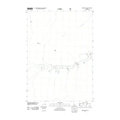
2011 Map of Meridian Peak
USGS Topo · Published 2011About this map
Meridian Peak stands as the central landmark in this high-altitude landscape of Blaine County, where the headwaters of several drainages carve deep canyons into the terrain. The hydrological network is dominated by the North Fork Big Lost River, which is fed by numerous tributaries including Bear Creek, Blind Creek, and Hunter Creek. To the north, Meridian Creek flows toward the quadrant boundary, while Trail Creek marks the southern reaches.
Find a feature on this map
16 named features on this map. Tap any name to fly to it.
Don’t see what you’re looking for? This feature index may not catch every label — zoom into the map to look around manually.
Map Details
Editions of this 2011 Meridian Peak Map
This is the sole edition of this map. No revisions or reprints were ever made.
Other maps of this area

1895 · Hailey
USGS Topo · 1:125,000

1897 · Hailey
USGS Topo · 1:125,000

1929 · Bayhorse
USGS Topo · 1:125,000

1955 · Hailey
USGS Topo · 1:250,000

1957 · Challis
USGS Topo · 1:250,000

1959 · Hailey
USGS Topo · 1:250,000

1960 · Challis
USGS Topo · 1:250,000

1962 · Hailey
USGS Topo · 1:250,000

1963 · Challis
USGS Topo · 1:250,000
1963 · Bowery Peak
USGS Topo · 1:24,000