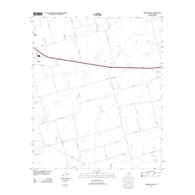
2012 Map of Merkel East
USGS Topo · Published 2012About this map
Interstate 20 cuts a primary east-west path through this West Texas landscape, connecting the growing communities of Merkel and Tye. The map captures the agricultural and ranching character of Taylor County, where a network of county roads like Co Rd-304 and Co Rd-307 provide access to the open country between established settlements. Local history is anchored at the Rose Hill Cem on the western edge of the survey, while the small community of Cozart marks the southern reaches near Bull Wagon Cr. The drainage patterns of Mulberry Cr and Little Elm Cr reveal the natural topography that dictates the placement of stock tanks and rural homesteads. This detailed record illustrates the modern infrastructure layered over traditional ranch land as the region continues to develop along the highway corridor.
Find a feature on this map
48 named features on this map. Tap any name to fly to it.
Don’t see what you’re looking for? This feature index may not catch every label — zoom into the map to look around manually.
Map Details
Editions of this 2012 Merkel East Map
This is the sole edition of this map. No revisions or reprints were ever made.
Other maps of this area

1890 · Abilene
USGS Topo · 1:125,000

1891 · Anson
USGS Topo · 1:125,000

1892 · Abilene
USGS Topo · 1:125,000

1893 · Roby
USGS Topo · 1:125,000

1893 · Anson
USGS Topo · 1:125,000

1893 · Sweetwater
USGS Topo · 1:125,000

1954 · Big Spring
USGS Topo · 1:250,000

1954 · Abilene
USGS Topo · 1:250,000

1957 · Hawley
USGS Topo · 1:62,500

1957 · Merkel
USGS Topo · 1:62,500