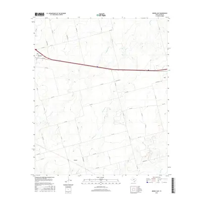
2016 Map of Merkel East
USGS Topo · Published 2016About this map
The West Texas landscape of Taylor County is captured here just west of Abilene, defined by the drainage basins of Bull Wagon Cr and Mulberry Cr. The community of Merkel anchors the northwestern corner of the sheet, where Rose Hill Cem serves as a significant landmark for genealogical research. Further east, the town of Tye sits along the major transit corridor of I-20, which bisects the quadrangle and provides the modern spine for regional movement. To the south, the settlement of Cozart remains connected by a network of county roads like Bull Wagon Rd and Co RD 303. The map detail reveals how contemporary residential developments such as W Bronco Ests interface with the traditional ranching and farming lands that have long characterized this part of the Rolling Plains.
Find a feature on this map
47 named features on this map. Tap any name to fly to it.
Don’t see what you’re looking for? This feature index may not catch every label — zoom into the map to look around manually.
Map Details
Editions of this 2016 Merkel East Map
This is the sole edition of this map. No revisions or reprints were ever made.
Other maps of this area

1890 · Abilene
USGS Topo · 1:125,000

1891 · Anson
USGS Topo · 1:125,000

1892 · Abilene
USGS Topo · 1:125,000

1893 · Roby
USGS Topo · 1:125,000

1893 · Anson
USGS Topo · 1:125,000

1893 · Sweetwater
USGS Topo · 1:125,000

1954 · Big Spring
USGS Topo · 1:250,000

1954 · Abilene
USGS Topo · 1:250,000

1957 · Hawley
USGS Topo · 1:62,500

1957 · Merkel
USGS Topo · 1:62,500