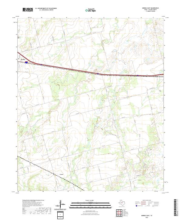
2022 Map of Merkel East
USGS Topo · Published 2022About this map
The city of Merkel anchors the northwestern corner of this West Texas survey, where the regional infrastructure follows the path of I-20 and Bus 20. The landscape is defined by the drainages of Mulberry Creek and Bull Wagon Creek, which cut through the undulating terrain of Taylor County. To the east, the settlement of Tye and the smaller locality of Cozart suggest the historical dispersal of communities along early transportation corridors and local roads like White Mines Rd.
Find a feature on this map
49 named features on this map. Tap any name to fly to it.
Don’t see what you’re looking for? This feature index may not catch every label — zoom into the map to look around manually.
Map Details
Editions of this 2022 Merkel East Map
This is the sole edition of this map. No revisions or reprints were ever made.
Other maps of this area

1890 · Abilene
USGS Topo · 1:125,000

1891 · Anson
USGS Topo · 1:125,000

1892 · Abilene
USGS Topo · 1:125,000

1893 · Roby
USGS Topo · 1:125,000

1893 · Anson
USGS Topo · 1:125,000

1893 · Sweetwater
USGS Topo · 1:125,000

1954 · Big Spring
USGS Topo · 1:250,000

1954 · Abilene
USGS Topo · 1:250,000

1957 · Hawley
USGS Topo · 1:62,500

1957 · Merkel
USGS Topo · 1:62,500