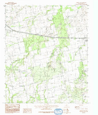
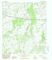
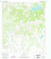
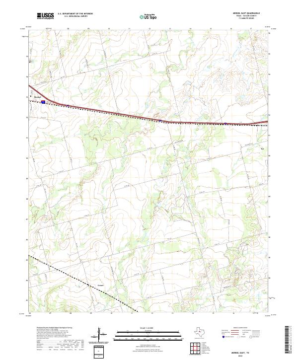
1984 Map of Merkel East
USGS Topo · Published 1991This historical map portrays the area of Merkel East in 1984, primarily covering Taylor County. Featuring a scale of 1:24000, this map provides a highly detailed snapshot of the terrain, roads, buildings, counties, and historical landmarks in the Merkel East region at the time. Published in 1991, it is one of 2 known editions of this map due to revisions or reprints.
Find a feature on this map
20 named features on this map. Tap any name to fly to it.
Don’t see what you’re looking for? This feature index may not catch every label — zoom into the map to look around manually.
Map Details
Editions of this 1984 Merkel East Map
2 editions found
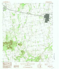
Historical Maps of Merkel Through Time
16 maps found
1957 Abilene East
Taylor County, TX
1957 Abilene West
Taylor County, TX
1967 Lake Abilene
Taylor County, TX
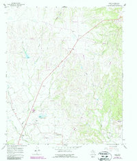
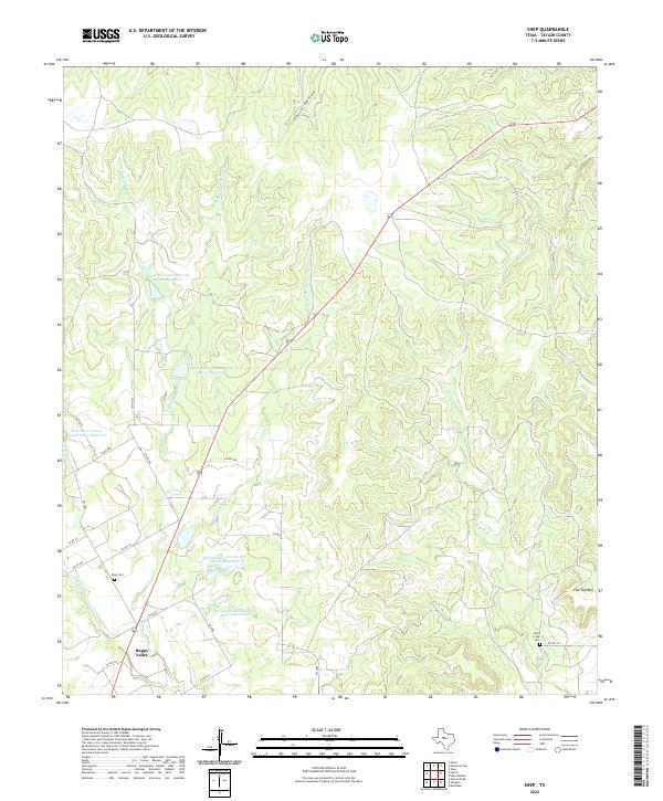
1967 Shep
Taylor County, TX
1984 Merkel East
Taylor County, TX
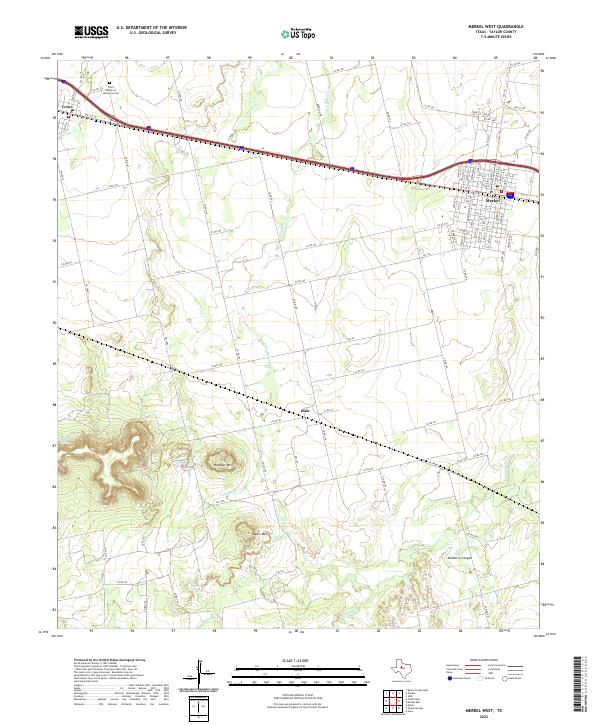
1984 Merkel West
Taylor County, TX
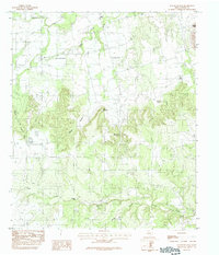
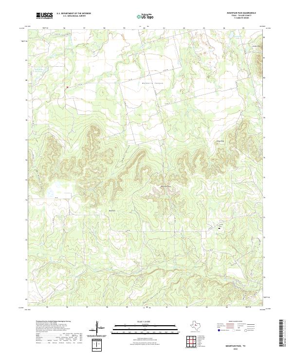
1984 Mountain Pass
Taylor County, TX
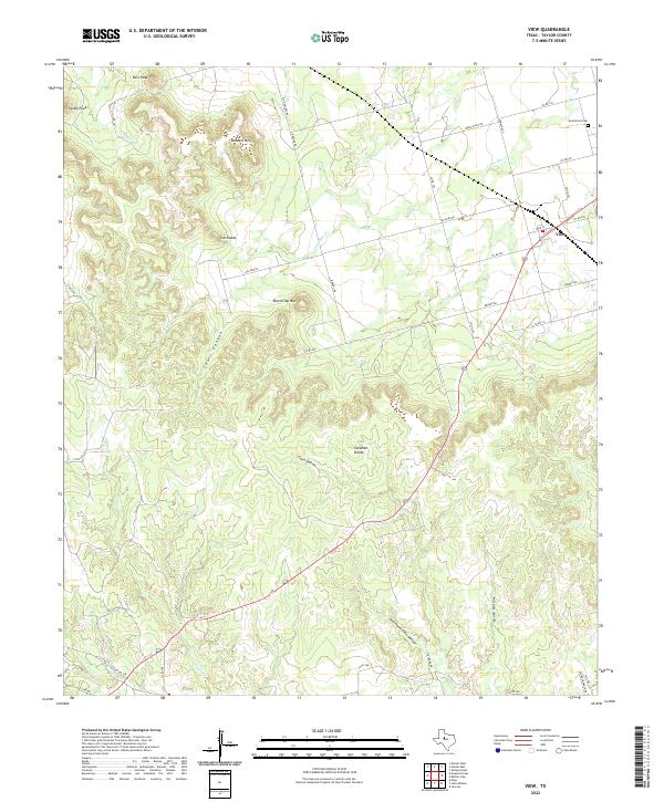
1984 View
Taylor County, TX
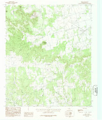
2022 Abilene East
Taylor County, TX
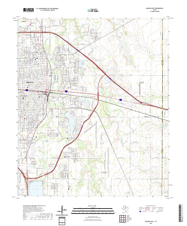
2022 Abilene West
Taylor County, TX
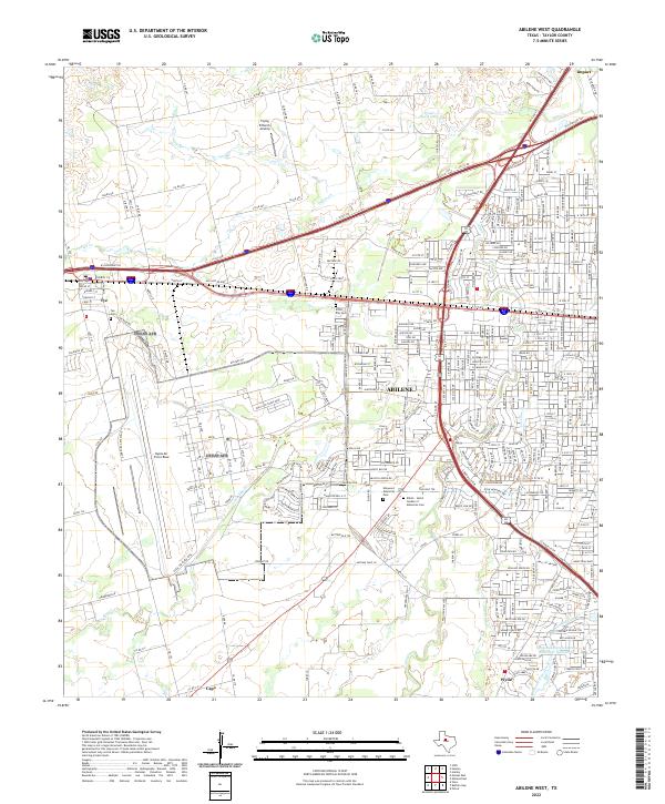
2022 Lake Abilene
Taylor County, TX
2022 Merkel East
Taylor County, TX
2022 Merkel West
Taylor County, TX
2022 Mountain Pass
Taylor County, TX
2022 Shep
Taylor County, TX
2022 View
Taylor County, TX