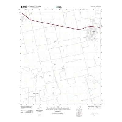
2010 Map of Merkel West
USGS Topo · Published 2010About this map
The West Texas prairie near Merkel is defined by a transitional landscape where the flat expanse of the Llano Estacado meets the broken terrain of Mulberry Canyon. In 2010, this region preserved a mix of agricultural heritage and energy production, evidenced by the White Oil Field, Blair Oil Field, and Gibson Oil Field scattered across the quadrangle. The small community of Blair sits centrally, while the larger settlement of Merkel occupies the northeastern corner, revealing a grid of residential streets like N 1st St and Heritage Dr. To the southwest, the topography becomes more dramatic at Blowout Mountain and Spears Mountain. Local history is anchored by landmarks such as the White Church and Trent Cemetery, which serve as quiet markers of the rural families who settled this territory along the corridors of Noodle Creek and Little Bitter Creek.
Find a feature on this map
53 named features on this map. Tap any name to fly to it.
Don’t see what you’re looking for? This feature index may not catch every label — zoom into the map to look around manually.
Map Details
Editions of this 2010 Merkel West Map
This is the sole edition of this map. No revisions or reprints were ever made.
Other maps of this area

1890 · Abilene
USGS Topo · 1:125,000

1891 · Anson
USGS Topo · 1:125,000

1892 · Abilene
USGS Topo · 1:125,000

1893 · Roby
USGS Topo · 1:125,000

1893 · Anson
USGS Topo · 1:125,000

1893 · Sweetwater
USGS Topo · 1:125,000

1954 · Big Spring
USGS Topo · 1:250,000

1954 · Abilene
USGS Topo · 1:250,000

1957 · Hawley
USGS Topo · 1:62,500

1957 · Merkel
USGS Topo · 1:62,500