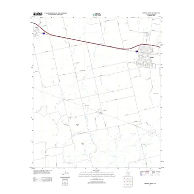
2012 Map of Merkel West
USGS Topo · Published 2012About this map
Merkel and Trent anchor this West Texas landscape, positioned along the primary transportation corridor that defines the northern half of the region. The map reveals a land structured by both its natural hydrology and its energy resources, with numerous seasonal watercourses like Little Bitter Cr and Mulberry Cr draining the plains. The southern portion of the quadrangle is marked by prominent landforms including Blowout Mtn and Spears Mtn, which overlook a network of rural roads and remote settlements such as Blair. This era of development is characterized by the integration of traditional ranching landscapes with industrial sites, most notably the White Oil Field, Blair Oil Field, and Gibson Oil Field. Local history markers are preserved through sites like the White Church and the Trent Cem, providing key points of interest for genealogists tracing family roots in Taylor County.
Find a feature on this map
87 named features on this map. Tap any name to fly to it.
Don’t see what you’re looking for? This feature index may not catch every label — zoom into the map to look around manually.
Map Details
Editions of this 2012 Merkel West Map
This is the sole edition of this map. No revisions or reprints were ever made.
Other maps of this area

1890 · Abilene
USGS Topo · 1:125,000

1891 · Anson
USGS Topo · 1:125,000

1892 · Abilene
USGS Topo · 1:125,000

1893 · Roby
USGS Topo · 1:125,000

1893 · Anson
USGS Topo · 1:125,000

1893 · Sweetwater
USGS Topo · 1:125,000

1954 · Big Spring
USGS Topo · 1:250,000

1954 · Abilene
USGS Topo · 1:250,000

1957 · Hawley
USGS Topo · 1:62,500

1957 · Merkel
USGS Topo · 1:62,500