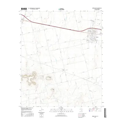
2016 Map of Merkel West
USGS Topo · Published 2016About this map
The West Texas landscape around Merkel is defined by a series of dramatic elevations rising from the ranching country of Taylor County. To the west of the main settlement, Blowout Mtn and Spears Mtn create a rugged topography, while the town itself is situated along the major transit corridor that links it to the smaller communities of Blair and Trent. The drainage patterns here are complex, with Little Bitter Cr, Mulberry Cr, and Noodle Cr cutting through the terrain, illustrating the water sources that have long sustained this semi-arid region.
Find a feature on this map
94 named features on this map. Tap any name to fly to it.
Don’t see what you’re looking for? This feature index may not catch every label — zoom into the map to look around manually.
Map Details
Editions of this 2016 Merkel West Map
This is the sole edition of this map. No revisions or reprints were ever made.
Other maps of this area

1890 · Abilene
USGS Topo · 1:125,000

1891 · Anson
USGS Topo · 1:125,000

1892 · Abilene
USGS Topo · 1:125,000

1893 · Roby
USGS Topo · 1:125,000

1893 · Anson
USGS Topo · 1:125,000

1893 · Sweetwater
USGS Topo · 1:125,000

1954 · Big Spring
USGS Topo · 1:250,000

1954 · Abilene
USGS Topo · 1:250,000

1957 · Hawley
USGS Topo · 1:62,500

1957 · Merkel
USGS Topo · 1:62,500