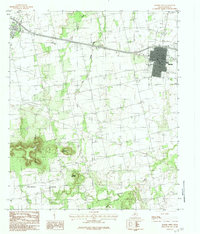
1984 Map of Merkel West
USGS Topo · Published 1984About this map
Merkel and Trent anchor this West Texas landscape during a period of transition in the late 1970s. The terrain is defined by the sharp transition from the plains into the high relief of Mulberry Canyon, where prominent elevations like Blowout Mountain and Spears Mountain rise above the surrounding drainage basins. The map illustrates a developed network of infrastructure, including a Pumping Station and an extensive Underground Pipeline system that traverses the agricultural and ranching lands between the two primary settlements.
Find a feature on this map
16 named features on this map. Tap any name to fly to it.
Don’t see what you’re looking for? This feature index may not catch every label — zoom into the map to look around manually.
Map Details
Editions of this 1984 Merkel West Map
This is the sole edition of this map. No revisions or reprints were ever made.
Other maps of this area

1890 · Abilene
USGS Topo · 1:125,000

1891 · Anson
USGS Topo · 1:125,000

1892 · Abilene
USGS Topo · 1:125,000

1893 · Roby
USGS Topo · 1:125,000

1893 · Anson
USGS Topo · 1:125,000

1893 · Sweetwater
USGS Topo · 1:125,000

1954 · Big Spring
USGS Topo · 1:250,000

1954 · Abilene
USGS Topo · 1:250,000

1957 · Hawley
USGS Topo · 1:62,500

1957 · Merkel
USGS Topo · 1:62,500