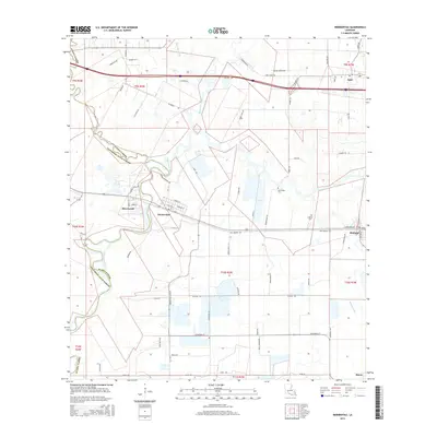
2015 Map of Mermentau
USGS Topo · Published 2015About this map
The Mermentau River winds through the border between Acadia and Jefferson Davis Parishes, defining the local geography of this 2015 survey. The village of Mermentau sits along the river's bend, where local routes like Dixon Cemetery Rd and Live Oak St meet the historic Old Spanish Trl. To the east, the landscape transitions into agricultural plots and water management features like the Midland Canal and Bayou des Cannes. Smaller communities including Egan, Midland, and Silverwood are connected by a network of rural roads such as Fenner Duncan Rd and Sisco Rd. Genealogists may find interest in the documented locations of Quebodaux Cem and Le Blanc Cem, which remain as distinct markers in the open country between the settlements.
Find a feature on this map
67 named features on this map. Tap any name to fly to it.
Don’t see what you’re looking for? This feature index may not catch every label — zoom into the map to look around manually.
Map Details
Editions of this 2015 Mermentau Map
This is the sole edition of this map. No revisions or reprints were ever made.
Other maps of this area

1946 · Morse
USGS Topo · 1:31,680

1946 · Lake Arthur
USGS Topo · 1:31,680

1946 · Mermentau
USGS Topo · 1:31,680

1946 · Jennings
USGS Topo · 1:31,680

1947 · Evangeline
USGS Topo · 1:31,680

1947 · Hathaway
USGS Topo · 1:31,680

1947 · Iota
USGS Topo · 1:31,680

1949 · Gueydan
USGS Topo · 1:31,680

1949 · Estherwood
USGS Topo · 1:31,680

1952 · Lake Charles
USGS Topo · 1:250,000