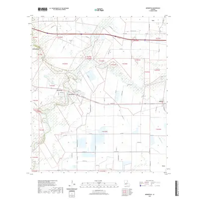
2020 Map of Mermentau
USGS Topo · Published 2020About this map
The Mermentau River winds through the heart of the Acadia and Jefferson Davis Parish line, defining a landscape of bayous and agricultural land in the twenty-first century. The village of Mermentau sits at a strategic bend in the river, where Railroad Ave and the Old Spanish Trl intersect, reflecting the historic transportation corridors of Southwest Louisiana. To the north, Bayou des Cannes snakes across the plains near the settlement of Egan.
Find a feature on this map
78 named features on this map. Tap any name to fly to it.
Don’t see what you’re looking for? This feature index may not catch every label — zoom into the map to look around manually.
Map Details
Editions of this 2020 Mermentau Map
This is the sole edition of this map. No revisions or reprints were ever made.
Other maps of this area

1946 · Morse
USGS Topo · 1:31,680

1946 · Lake Arthur
USGS Topo · 1:31,680

1946 · Mermentau
USGS Topo · 1:31,680

1946 · Jennings
USGS Topo · 1:31,680

1947 · Evangeline
USGS Topo · 1:31,680

1947 · Hathaway
USGS Topo · 1:31,680

1947 · Iota
USGS Topo · 1:31,680

1949 · Gueydan
USGS Topo · 1:31,680

1949 · Estherwood
USGS Topo · 1:31,680

1952 · Lake Charles
USGS Topo · 1:250,000