
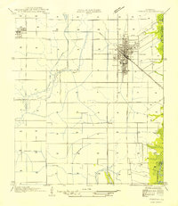
1946 Map of Mermentau
USGS Topo · Published 1946About this map
The Mermentau River and its critical tributaries define this Cajun Prairie landscape in the mid-1940s, marking the convergence of the Bayou Nezpique, Bayou Des Cannes, and Bayou Plaquemine Brule. The settlement of Mermentau sits at a strategic bend in the river, where the Southern Pacific railroad crosses the water alongside Silverwood. The map captures an intricate system of water management essential to the local rice economy, shown through numerous Pump Houses, the Duson Canal, and extensive drainage ditches.
Find a feature on this map
24 named features on this map. Tap any name to fly to it.
Don’t see what you’re looking for? This feature index may not catch every label — zoom into the map to look around manually.
Map Details
Editions of this 1946 Mermentau Map
This is the sole edition of this map. No revisions or reprints were ever made.
Other maps of this area

1946 · Morse
USGS Topo · 1:31,680

1946 · Lake Arthur
USGS Topo · 1:31,680

1946 · Jennings
USGS Topo · 1:31,680

1947 · Evangeline
USGS Topo · 1:31,680

1947 · Hathaway
USGS Topo · 1:31,680

1947 · Iota
USGS Topo · 1:31,680

1949 · Gueydan
USGS Topo · 1:31,680

1949 · Estherwood
USGS Topo · 1:31,680

1952 · Lake Charles
USGS Topo · 1:250,000
1954 · Jennings
USGS Topo · 1:31,680