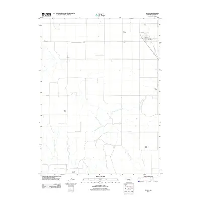
2011 Map of Merna
USGS Topo · Published 2011About this map
Merna serves as the primary hub of activity in this 2011 survey of Custer County, situated along the crossroads of Old Hwy 2 and E Center St. The village structure is clearly defined by the Merna Post Office and the outlying Merna Cemetery to the northwest. The surrounding topography transitions from the high, flat expanse of the West Table into a series of distinct drainage basins, including Dale Valley and Union Valley in the eastern reaches.
Find a feature on this map
17 named features on this map. Tap any name to fly to it.
Don’t see what you’re looking for? This feature index may not catch every label — zoom into the map to look around manually.
Map Details
Editions of this 2011 Merna Map
This is the sole edition of this map. No revisions or reprints were ever made.
Other maps of this area

1951 · Broken Bow SW
USGS Topo · 1:24,000

1951 · Lillian
USGS Topo · 1:24,000

1951 · Callaway NW
USGS Topo · 1:24,000

1951 · Anselmo
USGS Topo · 1:24,000

1951 · Broken Bow
USGS Topo · 1:24,000

1951 · Merna
USGS Topo · 1:24,000

1951 · Anselmo SW
USGS Topo · 1:24,000

1951 · Callaway SE
USGS Topo · 1:24,000

1951 · Callaway
USGS Topo · 1:24,000

1955 · Broken Bow
USGS Topo · 1:250,000