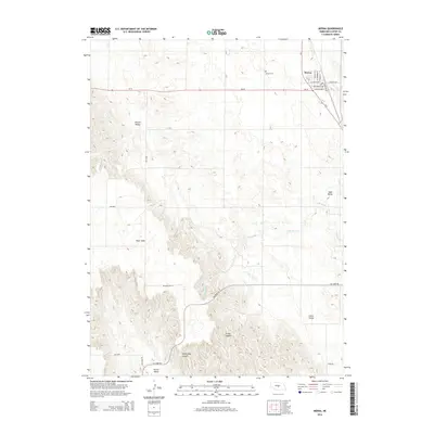
2014 Map of Merna
USGS Topo · Published 2014About this map
Merna serves as the central hub of this Nebraska landscape, where the intersection of Ne-2 and Ne-92 marks the town's residential and commercial core. The local street grid, including Brotherton Ave and McCarty St, reflects a organized settlement pattern surrounded by the sweeping topography of Custer Canyon and Yellow Dog Canyon to the south. Historically significant landmarks like the Merna Cem sit just north of the village, providing a key point of reference for genealogists tracing family roots in Custer County.
Find a feature on this map
23 named features on this map. Tap any name to fly to it.
Don’t see what you’re looking for? This feature index may not catch every label — zoom into the map to look around manually.
Map Details
Editions of this 2014 Merna Map
This is the sole edition of this map. No revisions or reprints were ever made.
Other maps of this area

1951 · Broken Bow SW
USGS Topo · 1:24,000

1951 · Lillian
USGS Topo · 1:24,000

1951 · Callaway NW
USGS Topo · 1:24,000

1951 · Anselmo
USGS Topo · 1:24,000

1951 · Broken Bow
USGS Topo · 1:24,000

1951 · Merna
USGS Topo · 1:24,000

1951 · Anselmo SW
USGS Topo · 1:24,000

1951 · Callaway SE
USGS Topo · 1:24,000

1951 · Callaway
USGS Topo · 1:24,000

1955 · Broken Bow
USGS Topo · 1:250,000