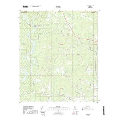
2018 Map of Merrill
USGS Topo · Published 2018About this map
The Pascagoula River forms at the confluence of the Leaf River and Chickasawhay River near the historic river town of Merrill. This corner of Southeast Mississippi is defined by an intricate network of waterways, including oxbows and secondary channels like the Cochran Dead River, Smith Dead River, and the curiously named Booger Hole Slough. The landscape reflects a deep history of rural settlement, particularly around Bexley and Crossroads, where the timber and river economy once dominated.
Find a feature on this map
113 named features on this map. Tap any name to fly to it.
Don’t see what you’re looking for? This feature index may not catch every label — zoom into the map to look around manually.
Map Details
Editions of this 2018 Merrill Map
This is the sole edition of this map. No revisions or reprints were ever made.
Other maps of this area

1941 · Lucedale
USGS Topo · 1:62,500

1943 · Lucedale
USGS Topo · 1:62,500

1947 · Beaumont
USGS Topo · 1:62,500

1947 · Benndale
USGS Topo · 1:62,500

1949 · Beaumont
USGS Topo · 1:62,500

1949 · Benndale
USGS Topo · 1:62,500

1953 · Hattiesburg
USGS Topo · 1:250,000

1953 · Mobile
USGS Topo · 1:250,000

1957 · Mobile
USGS Topo · 1:250,000

1958 · Hattiesburg
USGS Topo · 1:250,000