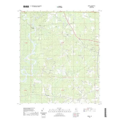
2020 Map of Merrill
USGS Topo · Published 2020About this map
The confluence of the Leaf River and Chickasawhay River creates the Pascagoula River in this part of George and Greene Counties. This river system defines the landscape, weaving past the settlement of Merrill and creating distinctive features like Round Eddy, Big Eddy, and Pree Eddy. The topography is marked by several dead rivers and sloughs, including Cochran Dead River and Booger Hole Slough, reflecting the dynamic nature of the river delta.
Find a feature on this map
115 named features on this map. Tap any name to fly to it.
Don’t see what you’re looking for? This feature index may not catch every label — zoom into the map to look around manually.
Map Details
Editions of this 2020 Merrill Map
This is the sole edition of this map. No revisions or reprints were ever made.
Other maps of this area

1941 · Lucedale
USGS Topo · 1:62,500

1943 · Lucedale
USGS Topo · 1:62,500

1947 · Beaumont
USGS Topo · 1:62,500

1947 · Benndale
USGS Topo · 1:62,500

1949 · Beaumont
USGS Topo · 1:62,500

1949 · Benndale
USGS Topo · 1:62,500

1953 · Hattiesburg
USGS Topo · 1:250,000

1953 · Mobile
USGS Topo · 1:250,000

1957 · Mobile
USGS Topo · 1:250,000

1958 · Hattiesburg
USGS Topo · 1:250,000