2024 Map of Merrill
USGS Topo · Published 2024About this map
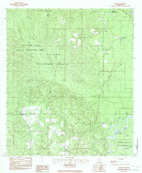
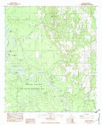
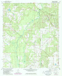
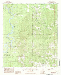
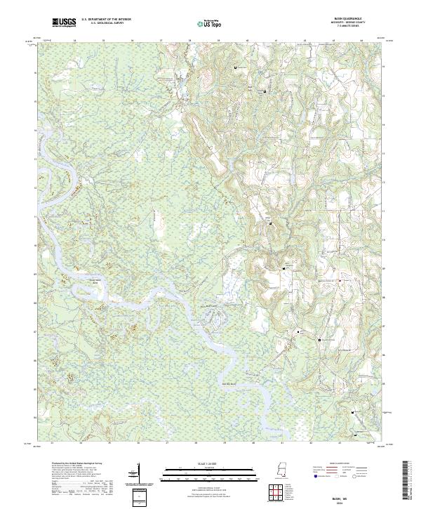
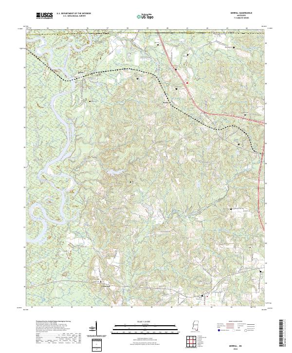
The confluence of the Leaf River and Chickasawhay River creates the headwaters of the Pascagoula River here in George and Greene Counties. This river system dominates the western landscape with complex water features like Round Eddy, Big Eddy, and the Cochran Dead River. These riparian environments sit in contrast to the upland settlements of Merrill and Bexley, where local roads such as Salem Rd and Crossroads-Merrill Rd connect rural homesteads and several family burial grounds.
Find a feature on this map
113 named features on this map. Tap any name to fly to it.
Don’t see what you’re looking for? This feature index may not catch every label — zoom into the map to look around manually.
Map Details
Editions of this 2024 Merrill Map
This is the sole edition of this map. No revisions or reprints were ever made.
Historical Maps of Central Through Time
9 maps found