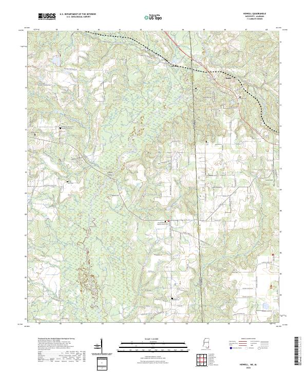
2024 Map of Howell
USGS Topo · Published 2024About this map
The Escatawpa River and its major tributary Red Creek define this rural landscape along the state line between George County, Mississippi, and Mobile County, Alabama. This modern topographic record details the wetland environments of Jean-Bay and Juniper Bay, illustrating the complex hydrology of the Gulf Coastal Plain. Small settlements like Latonia and Moffet anchor the higher ground, while the historical crossing at Howells Ferry highlights the long-standing importance of river navigation in the region.
Find a feature on this map
99 named features on this map. Tap any name to fly to it.
Don’t see what you’re looking for? This feature index may not catch every label — zoom into the map to look around manually.
Map Details
Editions of this 2024 Howell Map
This is the sole edition of this map. No revisions or reprints were ever made.
Other maps of this area

1941 · Hurley
USGS Topo · 1:62,500

1941 · Vancleave
USGS Topo · 1:62,500

1941 · Lucedale
USGS Topo · 1:62,500

1942 · Wilmer
USGS Topo · 1:62,500

1943 · Lucedale
USGS Topo · 1:62,500

1943 · Hurley
USGS Topo · 1:62,500

1943 · Vancleave
USGS Topo · 1:62,500

1944 · Wilmer
USGS Topo · 1:62,500

1944 · Vancleave
USGS Topo · 1:62,500

1953 · Mobile
USGS Topo · 1:250,000