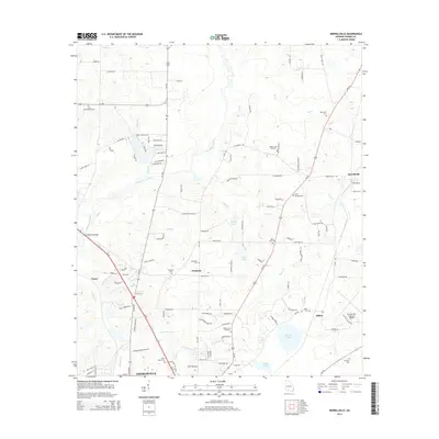
2014 Map of Merrillville
USGS Topo · Published 2014About this map
The Ochlockonee River flows through this corner of Georgia, shaping a landscape of agricultural roads and scattered settlements just north of Thomasville. The area is defined by its rural connectivity, with Ga-202 and Ga-188 serving as primary arteries for communities like Pasco, Fredonia, and Merrillville. Numerous family and community burial grounds, including Wilson Cem Number 1 and the Little Ochlockonee Cem, provide significant genealogical touchpoints across the countryside.
Find a feature on this map
116 named features on this map. Tap any name to fly to it.
Don’t see what you’re looking for? This feature index may not catch every label — zoom into the map to look around manually.
Map Details
Editions of this 2014 Merrillville Map
This is the sole edition of this map. No revisions or reprints were ever made.
Other maps of this area

1953 · Dothan
USGS Topo · 1:250,000

1953 · Waycross
USGS Topo · 1:250,000

1954 · Dothan
USGS Topo · 1:250,000

1954 · Valdosta
USGS Topo · 1:250,000

1954 · Tallahassee
USGS Topo · 1:250,000

1955 · Dothan
USGS Topo · 1:250,000

1956 · Cairo
USGS Topo · 1:62,500

1957 · Thomasville
USGS Topo · 1:62,500

1958 · Valdosta
USGS Topo · 1:250,000

1958 · Waycross
USGS Topo · 1:250,000