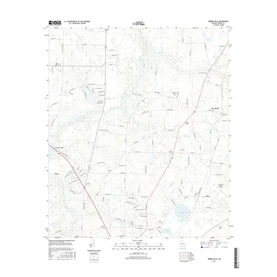
2017 Map of Merrillville
USGS Topo · Published 2017About this map
Ochlockonee River drainage patterns define this South Georgia landscape, where agricultural tradition meets the expanding reach of modern transportation. In the eastern portion of the map, the Thomasville Regional Airport serves as a major landmark, situated near the settlement of Dillon. The area is notably dense with family and community burial grounds, including Saint Georges Cem, Saint Paul Cem, and Wilson Cem Number 2, which provide critical reference points for local genealogists. Named lakes such as Griffin Lake and Searcy Lake dot the terrain, while the small communities of Merrillville and Pasco remain central to the rural network of roads like Egg and Butter Rd N. This modern topographic survey illustrates how the region has maintained its rural character while supporting infrastructure like the airport and the crossing at Confederate Bridge.
Find a feature on this map
122 named features on this map. Tap any name to fly to it.
Don’t see what you’re looking for? This feature index may not catch every label — zoom into the map to look around manually.
Map Details
Editions of this 2017 Merrillville Map
This is the sole edition of this map. No revisions or reprints were ever made.
Other maps of this area

1953 · Dothan
USGS Topo · 1:250,000

1953 · Waycross
USGS Topo · 1:250,000

1954 · Dothan
USGS Topo · 1:250,000

1954 · Valdosta
USGS Topo · 1:250,000

1954 · Tallahassee
USGS Topo · 1:250,000

1955 · Dothan
USGS Topo · 1:250,000

1956 · Cairo
USGS Topo · 1:62,500

1957 · Thomasville
USGS Topo · 1:62,500

1958 · Valdosta
USGS Topo · 1:250,000

1958 · Waycross
USGS Topo · 1:250,000