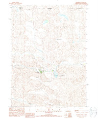
1990 Map of Merriman
USGS Topo · Published 1990About this map
The village of Merriman serves as the central hub of this northern Nebraska ranching landscape, situated just south of the border with South Dakota. The settlement pattern reflects the enduring legacy of large family holdings in the Sandhills, marked by numerous named properties such as the Joy Fairhead Ranch, Garould Fairhead Ranch, and the Sandoz Ranch. Cultural and historical preservation is evident at the Arthur Bowring Sandhill Ranch (State Historical Site), a significant landmark in the region's agricultural history.
Find a feature on this map
18 named features on this map. Tap any name to fly to it.
Don’t see what you’re looking for? This feature index may not catch every label — zoom into the map to look around manually.
Map Details
Editions of this 1990 Merriman Map
This is the sole edition of this map. No revisions or reprints were ever made.
Other maps of this area

1950 · Irwin
USGS Topo · 1:62,500

1951 · Irwin
USGS Topo · 1:62,500

1951 · Merriman
USGS Topo · 1:62,500

1955 · Martin
USGS Topo · 1:250,000

1957 · Valentine
USGS Topo · 1:250,000

1958 · Martin
USGS Topo · 1:250,000

1959 · Valentine
USGS Topo · 1:250,000

1981 · Phantom Lake
USGS Topo · 1:25,000

1981 · Ecoffey Lake
USGS Topo · 1:25,000

1983 · Martin
USGS Topo · 1:100,000