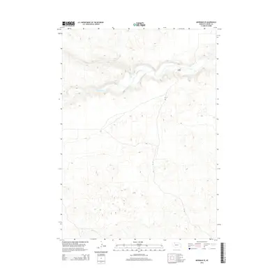
2014 Map of Merriman SE
USGS Topo · Published 2014About this map
The Niobrara River winds across this portion of Cherry County, cutting a distinct valley through the Nebraska Sandhills. The landscape is defined by its drainage patterns, with Leander Creek (also labeled as Leander Cr) flowing south to meet the main river. Human infrastructure is minimal in this cattle-ranching country, centered primarily on the north-south passage of Eli Rd. A notable crossing is found at Crane Bridge, which serves as a vital connector over the river in an area where developed crossings are few. The terrain is characterized by the complex topography of stabilized dunes, which dictate the winding paths of both the watercourses and the sparse road network in this section of the Great Plains.
Find a feature on this map
5 named features on this map. Tap any name to fly to it.
Don’t see what you’re looking for? This feature index may not catch every label — zoom into the map to look around manually.
Map Details
Editions of this 2014 Merriman SE Map
This is the sole edition of this map. No revisions or reprints were ever made.
Other maps of this area

1950 · Doughboy
USGS Topo · 1:62,500

1951 · Merriman
USGS Topo · 1:62,500

1951 · Merriman 4
USGS Topo · 1:62,500

1952 · Eli
USGS Topo · 1:62,500

1952 · Doughboy
USGS Topo · 1:62,500

1957 · Valentine
USGS Topo · 1:250,000

1959 · Valentine
USGS Topo · 1:250,000
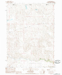
1985 · Eli
USGS Topo · 1:24,000

1985 · Cody
USGS Topo · 1:100,000
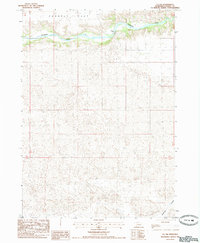
1985 · Eli SW
USGS Topo · 1:24,000